Ellis Lane Area, Ellis Lane Postcode(2570) & Map in Ellis Lane, Sydney - Outer South West, NSW
Ellis Lane Area, Ellis Lane Postcode(2570) & Map in Ellis Lane, Sydney - Outer South West, NSW, AU, Postcode: 2570
Ellis Lane, Camden - Ellis Lane, Camden, Sydney - Outer South West, New South Wales, Australia, 2570
Ellis Lane Postcode
Area Name
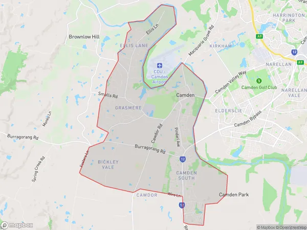
Ellis LaneEllis Lane Suburb Area Map (Polygon)

Ellis Lane Introduction
Ellis Lane is a suburb in the Southern Highlands of New South Wales, Australia. It is located in the City of Campbelltown and is part of the Macarthur region. The suburb is named after John Ellis, who was a landowner in the area in the 1800s. Ellis Lane is a peaceful and quiet suburb with a variety of housing options, including single-family homes, duplexes, and apartments. It is surrounded by beautiful parks and nature reserves, including the Georges River National Park and the Camden Valley Bush Walk. The suburb has a convenient location with easy access to major roads and public transportation, making it a popular choice for families and professionals.State Name
City or Big Region
District or Regional Area
Suburb Name
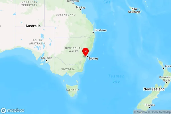
Ellis Lane Region Map

Country
Main Region in AU
R1Coordinates
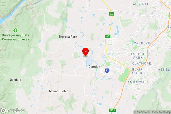
-34.034,150.675 (latitude/longitude)Ellis Lane Area Map (Street)

Longitude
150.525292Latitude
-34.042913Ellis Lane Elevation
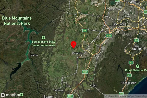
about 352.14 meters height above sea level (Altitude)Ellis Lane Suburb Map (Satellite)

Distances
The distance from Ellis Lane, Sydney - Outer South West, NSW to AU Greater Capital CitiesSA1 Code 2011
12301143307SA1 Code 2016
12301143307SA2 Code
123011433SA3 Code
12301SA4 Code
123RA 2011
1RA 2016
1MMM 2015
1MMM 2019
1Charge Zone
N1LGA Region
WollondillyLGA Code
18400Electorate
Macarthur