Sorrento Area, Sorrento Postcode(4217) & Map in Sorrento, Gold Coast, QLD
Sorrento Area, Sorrento Postcode(4217) & Map in Sorrento, Gold Coast, QLD, AU, Postcode: 4217
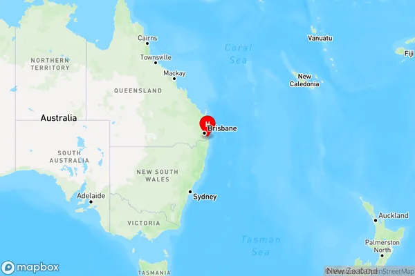
Sorrento, Bundall, Surfers Paradise, Gold Coast, Queensland, Australia, 4217
Sorrento Postcode
Area Name
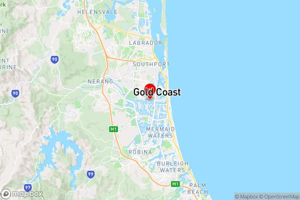
SorrentoSorrento Suburb Area Map (Polygon)

Sorrento Introduction
Sorrento is a coastal suburb of the Gold Coast in Queensland, Australia, known for its beautiful beaches, coastal walks, and vibrant nightlife. It is a popular destination for tourists and locals alike, with many restaurants, cafes, and shops lining the streets. Sorrento is also home to the Gold Coast's largest shopping centre, Pacific Fair, and the Gold Coast Convention and Exhibition Centre.State Name
City or Big Region
District or Regional Area
Suburb Name
Sorrento Region Map
Country
Main Region in AU
R2Coordinates
-28.012,153.405 (latitude/longitude)Sorrento Area Map (Street)
Longitude
153.412197Latitude
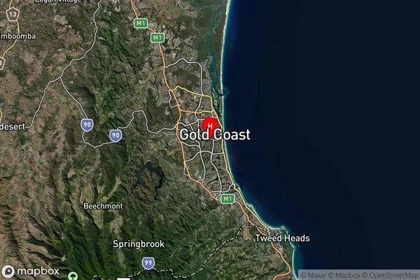
-28.008783Sorrento Suburb Map (Satellite)
Distances
The distance from Sorrento, Gold Coast, QLD to AU Greater Capital CitiesSA1 Code 2011
30910126801SA1 Code 2016
30910126801SA2 Code
309101268SA3 Code
30910SA4 Code
309RA 2011
1RA 2016
1MMM 2015
1MMM 2019
1Charge Zone
Q1LGA Region
Gold CoastLGA Code
33430Electorate
Moncrieff