Bundall Bc Area, Bundall Bc Postcode(4217) & Map in Bundall Bc, Gold Coast, QLD
Bundall Bc Area, Bundall Bc Postcode(4217) & Map in Bundall Bc, Gold Coast, QLD, AU, Postcode: 4217
Bundall Bc, Bundall, Surfers Paradise, Gold Coast, Queensland, Australia, 4217
Bundall Bc Postcode
Area Name
Bundall BcBundall Bc Suburb Area Map (Polygon)

Bundall Bc Introduction
Bundall Bc is a residential suburb on the Gold Coast, QLD, AU, known for its beachfront homes and relaxed lifestyle. It is located between Surfers Paradise and Broadbeach and offers easy access to the city's amenities and attractions.State Name
City or Big Region
District or Regional Area
Suburb Name
Bundall Bc Region Map
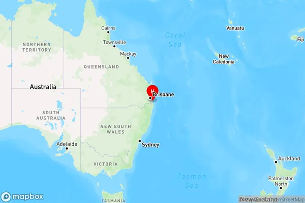
Country
Main Region in AU
R2Coordinates
-28.0032,153.412 (latitude/longitude)Bundall Bc Area Map (Street)
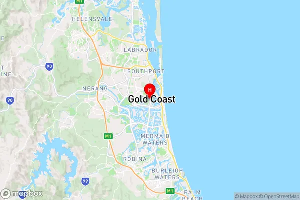
Longitude
153.412197Latitude
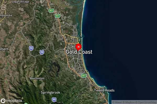
-28.008783Bundall Bc Suburb Map (Satellite)
Distances
The distance from Bundall Bc, Gold Coast, QLD to AU Greater Capital CitiesSA1 Code 2011
30910126810SA1 Code 2016
30910126810SA2 Code
309101268SA3 Code
30910SA4 Code
309RA 2011
1RA 2016
1MMM 2015
1MMM 2019
1Charge Zone
Q1LGA Region
Gold CoastLGA Code
33430Electorate
Moncrieff