Hollywell Area, Hollywell Postcode(4216) & Map in Hollywell, Gold Coast, QLD
Hollywell Area, Hollywell Postcode(4216) & Map in Hollywell, Gold Coast, QLD, AU, Postcode: 4216
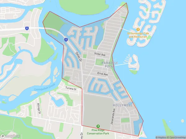
Hollywell, Paradise Point - Hollywell, Gold Coast - North, Gold Coast, Queensland, Australia, 4216
Hollywell Postcode
Area Name
HollywellHollywell Suburb Area Map (Polygon)
Hollywell Introduction
Hollywell is a suburb of the Gold Coast in Queensland, Australia, located 27 kilometers south of Brisbane. It is known for its beautiful beaches, lush rainforests, and recreational activities such as fishing, boating, and golf. Hollywell is also home to several schools, including a private school and a state high school.State Name
City or Big Region
District or Regional Area
Suburb Name
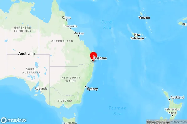
Hollywell Region Map
Country
Main Region in AU
R2Coordinates
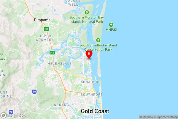
-27.8970798,153.4006801 (latitude/longitude)Hollywell Area Map (Street)
Longitude
153.419405Latitude
-27.839347Hollywell Elevation
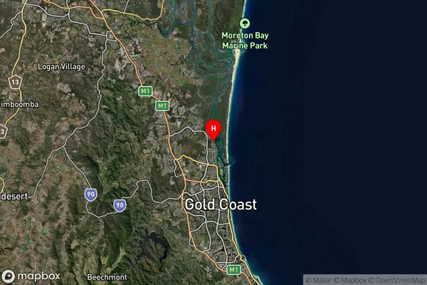
about 19.04 meters height above sea level (Altitude)Hollywell Suburb Map (Satellite)
Distances
The distance from Hollywell, Gold Coast, QLD to AU Greater Capital CitiesSA1 Code 2011
30903123914SA1 Code 2016
30903123914SA2 Code
309031239SA3 Code
30903SA4 Code
309RA 2011
1RA 2016
1MMM 2015
1MMM 2019
1Charge Zone
Q1LGA Region
Gold CoastLGA Code
33430Electorate
Fadden