Jacobs Well Area, Jacobs Well Postcode(4208) & Map in Jacobs Well, Gold Coast, QLD
Jacobs Well Area, Jacobs Well Postcode(4208) & Map in Jacobs Well, Gold Coast, QLD, AU, Postcode: 4208
Jacobs Well, Jacobs Well - Alberton, Ormeau - Oxenford, Gold Coast, Queensland, Australia, 4208
Jacobs Well Postcode
Area Name
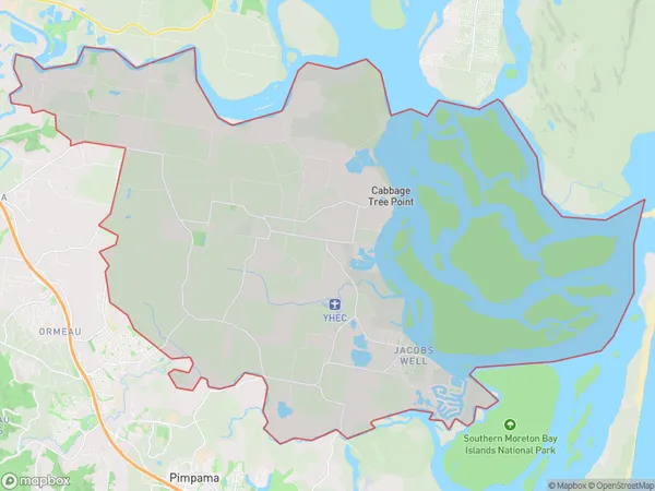
Jacobs WellJacobs Well Suburb Area Map (Polygon)

Jacobs Well Introduction
Jacobs Well is a popular tourist destination on the Gold Coast, Queensland, Australia. It is a natural wellspring located in a picturesque rainforest setting and is known for its clear and refreshing water. Visitors can enjoy swimming, snorkeling, and picnicking in the area, and there are also walking trails and a viewing platform to take in the stunning views.State Name
City or Big Region
District or Regional Area
Suburb Name
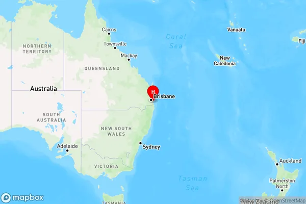
Jacobs Well Region Map

Country
Main Region in AU
R2Coordinates
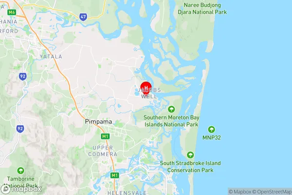
-27.786249,153.3595349 (latitude/longitude)Jacobs Well Area Map (Street)

Longitude
153.27631Latitude
-27.767029Jacobs Well Elevation
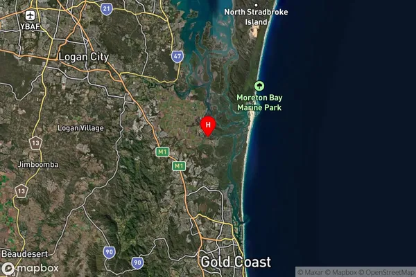
about 2.42 meters height above sea level (Altitude)Jacobs Well Suburb Map (Satellite)

Distances
The distance from Jacobs Well, Gold Coast, QLD to AU Greater Capital CitiesSA1 Code 2011
30907125404SA1 Code 2016
30907125404SA2 Code
309071254SA3 Code
30907SA4 Code
309RA 2011
1RA 2016
1MMM 2015
1MMM 2019
1Charge Zone
Q1LGA Region
LoganLGA Code
34590Electorate
Forde