Rous Mill Area, Rous Mill Postcode(2477) & Map in Rous Mill, Richmond - Tweed, NSW
Rous Mill Area, Rous Mill Postcode(2477) & Map in Rous Mill, Richmond - Tweed, NSW, AU, Postcode: 2477
Rous Mill, Ballina Region, Richmond Valley - Coastal, Richmond - Tweed, New South Wales, Australia, 2477
Rous Mill Postcode
Area Name
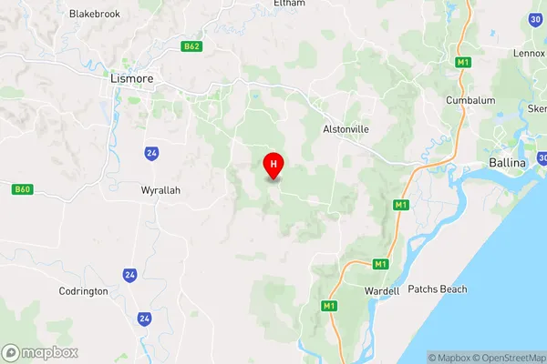
Rous MillRous Mill Suburb Area Map (Polygon)

Rous Mill Introduction
Rous Mill is a historic flour mill located in Richmond - Tweed, NSW, AU. It was built in 1886 by John Rous and is a significant example of industrial architecture in the region. The mill is now a popular tourist attraction and is home to a museum and heritage center.State Name
City or Big Region
District or Regional Area
Suburb Name
Rous Mill Region Map
Country
Main Region in AU
R3Coordinates
-28.8762313,153.3859379 (latitude/longitude)Rous Mill Area Map (Street)
Longitude
153.427314Latitude
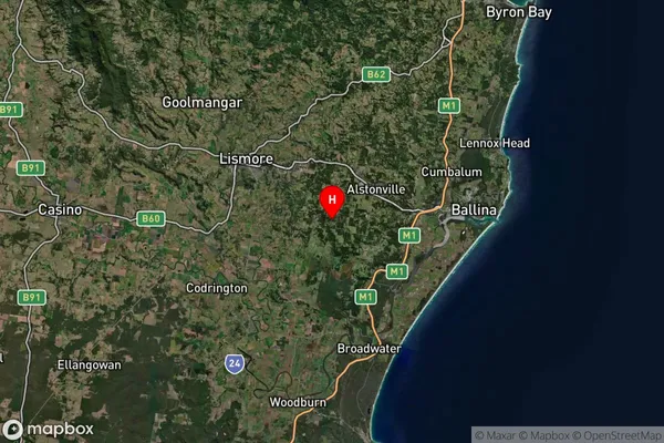
-28.907675Rous Mill Suburb Map (Satellite)
Distances
The distance from Rous Mill, Richmond - Tweed, NSW to AU Greater Capital CitiesSA1 Code 2011
11201123730SA1 Code 2016
11201123730SA2 Code
112011237SA3 Code
11201SA4 Code
112RA 2011
2RA 2016
2MMM 2015
3MMM 2019
3Charge Zone
N2LGA Region
BallinaLGA Code
10250Electorate
Richmond