Coalfalls Area, Coalfalls Postcode(4305) & Map in Coalfalls, Ipswich, QLD
Coalfalls Area, Coalfalls Postcode(4305) & Map in Coalfalls, Ipswich, QLD, AU, Postcode: 4305
Coalfalls, Ipswich - Central, Ipswich Inner, Ipswich, Queensland, Australia, 4305
Coalfalls Postcode
Area Name
CoalfallsCoalfalls Suburb Area Map (Polygon)

Coalfalls Introduction
Coalfalls is a suburb of Ipswich, Queensland, Australia, located approximately 40 kilometers southwest of Brisbane. It is known for its coal mining industry and has a population of approximately 10,000 people. The suburb has a number of parks and recreational facilities, including a swimming pool and a golf course. Coalfalls is also home to several schools, including Coalfalls State School and Coalfalls State High School.State Name
City or Big Region
District or Regional Area
Suburb Name
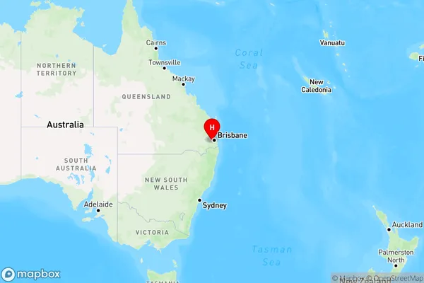
Coalfalls Region Map
Country
Main Region in AU
R2Coordinates
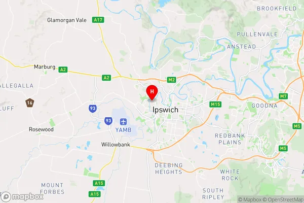
-27.6062583,152.7426763 (latitude/longitude)Coalfalls Area Map (Street)
Longitude
152.753696Latitude
-27.627522Coalfalls Elevation
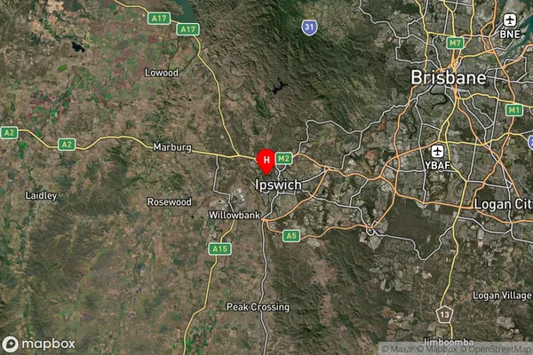
about 35.16 meters height above sea level (Altitude)Coalfalls Suburb Map (Satellite)
Distances
The distance from Coalfalls, Ipswich, QLD to AU Greater Capital CitiesSA1 Code 2011
31003128621SA1 Code 2016
31003128621SA2 Code
310031286SA3 Code
31003SA4 Code
310RA 2011
1RA 2016
1MMM 2015
1MMM 2019
1Charge Zone
Q2LGA Region
IpswichLGA Code
33960Electorate
Wright