Rous Area, Rous Postcode(2477) & Map in Rous, Richmond - Tweed, NSW
Rous Area, Rous Postcode(2477) & Map in Rous, Richmond - Tweed, NSW, AU, Postcode: 2477
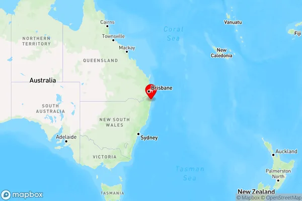
Rous, Ballina Region, Richmond Valley - Coastal, Richmond - Tweed, New South Wales, Australia, 2477
Rous Postcode
Area Name
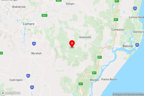
RousRous Suburb Area Map (Polygon)

Rous Introduction
Rous, Richmond - Tweed, NSW, AU, is a locality in the Tweed Shire, New South Wales, Australia. It is located on the banks of the Tweed River and is part of the Gold Coast region. Rous is a popular tourist destination and is known for its beautiful beaches, lush forests, and vibrant cultural heritage.State Name
City or Big Region
District or Regional Area
Suburb Name
Rous Region Map
Country
Main Region in AU
R3Coordinates
-28.86833,153.40306 (latitude/longitude)Rous Area Map (Street)
Longitude
153.427314Latitude
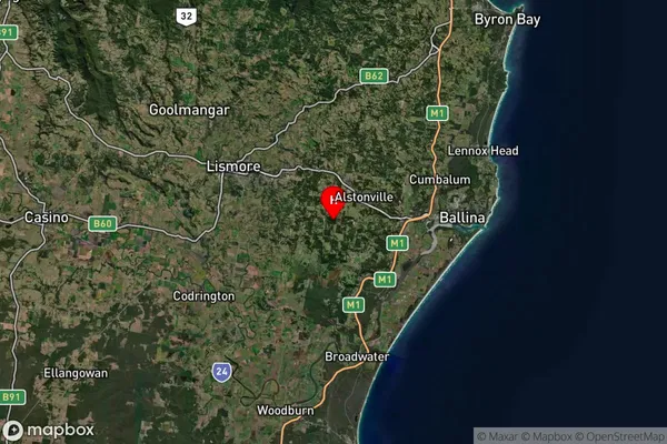
-28.907675Rous Suburb Map (Satellite)
Distances
The distance from Rous, Richmond - Tweed, NSW to AU Greater Capital CitiesSA1 Code 2011
11201123711SA1 Code 2016
11201123711SA2 Code
112011237SA3 Code
11201SA4 Code
112RA 2011
2RA 2016
2MMM 2015
3MMM 2019
3Charge Zone
N2LGA Region
BallinaLGA Code
10250Electorate
Richmond