Dalwood Area, Dalwood Postcode(2477) & Map in Dalwood, Richmond - Tweed, NSW
Dalwood Area, Dalwood Postcode(2477) & Map in Dalwood, Richmond - Tweed, NSW, AU, Postcode: 2477
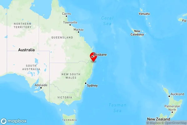
Dalwood, Ballina Region, Richmond Valley - Coastal, Richmond - Tweed, New South Wales, Australia, 2477
Dalwood Postcode
Area Name
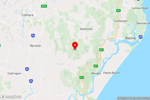
DalwoodDalwood Suburb Area Map (Polygon)

Dalwood Introduction
Dalwood is a suburb in the City of Richmond-Tweed in New South Wales, Australia. It is located 56 kilometers (35 miles) south of the state capital, Sydney, and is part of the Macarthur region. The suburb is named after the Dalwood forest, which was once located in the area. Dalwood has a population of around 1,600 people and is known for its peaceful atmosphere and scenic surroundings. It is surrounded by the Tweed River and the Border Ranges National Park, and offers a range of recreational activities, including bushwalking, cycling, and fishing.State Name
City or Big Region
District or Regional Area
Suburb Name
Dalwood Region Map
Country
Main Region in AU
R3Coordinates
-28.8920216,153.4095259 (latitude/longitude)Dalwood Area Map (Street)
Longitude
153.427314Latitude
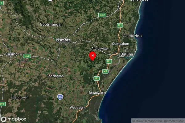
-28.907675Dalwood Suburb Map (Satellite)
Distances
The distance from Dalwood, Richmond - Tweed, NSW to AU Greater Capital CitiesSA1 Code 2011
11201123710SA1 Code 2016
11201123710SA2 Code
112011237SA3 Code
11201SA4 Code
112RA 2011
2RA 2016
2MMM 2015
3MMM 2019
3Charge Zone
N2LGA Region
BallinaLGA Code
10250Electorate
Richmond