Bagotville Area, Bagotville Postcode(2477) & Map in Bagotville, Richmond - Tweed, NSW
Bagotville Area, Bagotville Postcode(2477) & Map in Bagotville, Richmond - Tweed, NSW, AU, Postcode: 2477
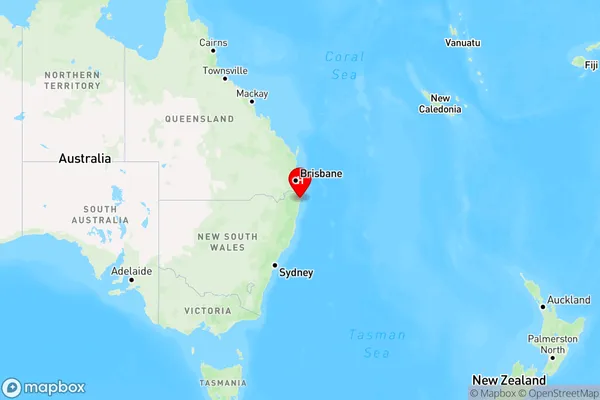
Bagotville, Ballina Region, Richmond Valley - Coastal, Richmond - Tweed, New South Wales, Australia, 2477
Bagotville Postcode
Area Name
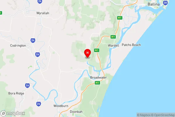
BagotvilleBagotville Suburb Area Map (Polygon)

Bagotville Introduction
Bagotville is a locality in the Tweed Shire, New South Wales, Australia. It is located on the Pacific Highway and is about 105 kilometers north of the state capital, Sydney. The post office opened on 1 October 1924 and was closed on 1 March 1974.State Name
City or Big Region
District or Regional Area
Suburb Name
Bagotville Region Map
Country
Main Region in AU
R3Coordinates
-28.975,153.40639 (latitude/longitude)Bagotville Area Map (Street)
Longitude
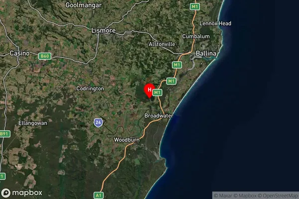
153.427314Latitude
-28.907675Bagotville Suburb Map (Satellite)
Distances
The distance from Bagotville, Richmond - Tweed, NSW to AU Greater Capital CitiesSA1 Code 2011
11201123727SA1 Code 2016
11201123727SA2 Code
112011237SA3 Code
11201SA4 Code
112RA 2011
2RA 2016
2MMM 2015
5MMM 2019
5Charge Zone
N2LGA Region
BallinaLGA Code
10250Electorate
Richmond