Alstonville Area, Alstonville Postcode(2477) & Map in Alstonville, Richmond - Tweed, NSW
Alstonville Area, Alstonville Postcode(2477) & Map in Alstonville, Richmond - Tweed, NSW, AU, Postcode: 2477
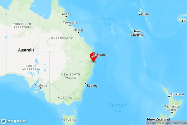
Alstonville, Ballina Region, Richmond Valley - Coastal, Richmond - Tweed, New South Wales, Australia, 2477
Alstonville Postcode
Area Name
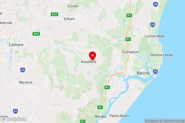
AlstonvilleAlstonville Suburb Area Map (Polygon)

Alstonville Introduction
Alstonville is a suburb in the City of Richmond-Tweed in northern New South Wales, Australia. It is located 68 kilometers (42 mi) north of the state capital, Sydney, and is part of the Northern Rivers region. The suburb is named after the Alstonville Plateau, which is a large area of land that is located to the north of the suburb. Alstonville is a popular residential area with a mix of modern homes and older properties. It has a number of parks and recreational facilities, including a golf course and a swimming pool. The suburb is also home to a number of businesses, including a supermarket and a shopping center.State Name
City or Big Region
District or Regional Area
Suburb Name
Alstonville Region Map
Country
Main Region in AU
R3Coordinates
-28.8408655,153.4495841 (latitude/longitude)Alstonville Area Map (Street)
Longitude
153.427314Latitude
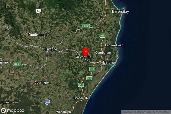
-28.907675Alstonville Suburb Map (Satellite)
Distances
The distance from Alstonville, Richmond - Tweed, NSW to AU Greater Capital CitiesSA1 Code 2011
11201123741SA1 Code 2016
11201123741SA2 Code
112011237SA3 Code
11201SA4 Code
112RA 2011
2RA 2016
2MMM 2015
3MMM 2019
3Charge Zone
N2LGA Region
BallinaLGA Code
10250Electorate
Richmond