Alstonvale Area, Alstonvale Postcode(2477) & Map in Alstonvale, Richmond - Tweed, NSW
Alstonvale Area, Alstonvale Postcode(2477) & Map in Alstonvale, Richmond - Tweed, NSW, AU, Postcode: 2477
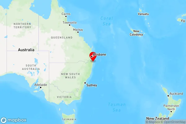
Alstonvale, Ballina Region, Richmond Valley - Coastal, Richmond - Tweed, New South Wales, Australia, 2477
Alstonvale Postcode
Area Name
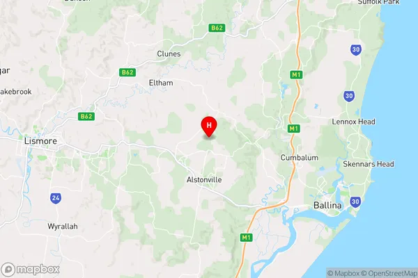
AlstonvaleAlstonvale Suburb Area Map (Polygon)

Alstonvale Introduction
Alstonvale is a suburb in the City of Richmond-Tweed in New South Wales, Australia. It is located 62 kilometers south of the state capital, Sydney, and is part of the Macarthur region. The suburb has a population of around 11,000 people and is known for its rural atmosphere and scenic surroundings. It is home to a number of parks and recreational facilities, including Alstonvale Golf Club and Alstonvale Sports Complex.State Name
City or Big Region
District or Regional Area
Suburb Name
Alstonvale Region Map
Country
Main Region in AU
R3Coordinates
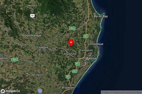
-28.80611,153.44528 (latitude/longitude)Alstonvale Area Map (Street)
Longitude
153.427314Latitude
-28.907675Alstonvale Suburb Map (Satellite)
Distances
The distance from Alstonvale, Richmond - Tweed, NSW to AU Greater Capital CitiesSA1 Code 2011
11201123725SA1 Code 2016
11201123725SA2 Code
112011237SA3 Code
11201SA4 Code
112RA 2011
2RA 2016
2MMM 2015
3MMM 2019
3Charge Zone
N2LGA Region
BallinaLGA Code
10250Electorate
Richmond