Buaraba South Area, Buaraba South Postcode(4311) & Map in Buaraba South, Toowoomba, QLD
Buaraba South Area, Buaraba South Postcode(4311) & Map in Buaraba South, Toowoomba, QLD, AU, Postcode: 4311
Buaraba South, Lockyer Valley - West, Toowoomba, Toowoomba, Queensland, Australia, 4311
Buaraba South Postcode
Area Name
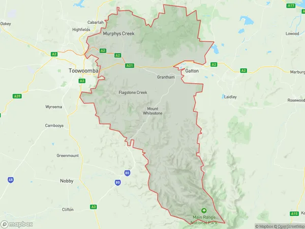
Buaraba SouthBuaraba South Suburb Area Map (Polygon)
Buaraba South Introduction
Buaraba South is a suburb of Toowoomba, Queensland, Australia, located approximately 10 km south of the city center. It is known for its rural atmosphere and scenic views, with many residents enjoying outdoor activities such as horse riding and bushwalking. The suburb has a population of approximately 1,500 people and is home to a number of schools, including a primary school and a high school.State Name
City or Big Region
District or Regional Area
Suburb Name
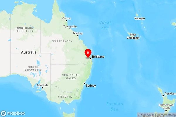
Buaraba South Region Map
Country
Main Region in AU
R3Coordinates
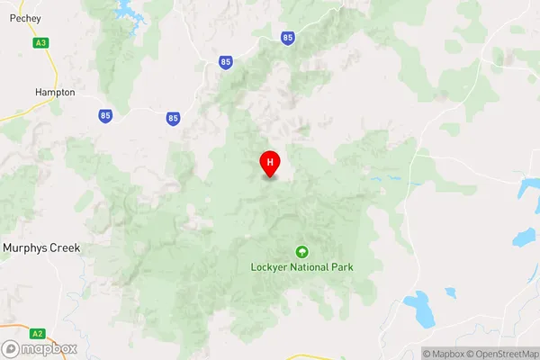
-27.4164889,152.2332548 (latitude/longitude)Buaraba South Area Map (Street)
Longitude
152.438771Latitude
-27.418572Buaraba South Elevation
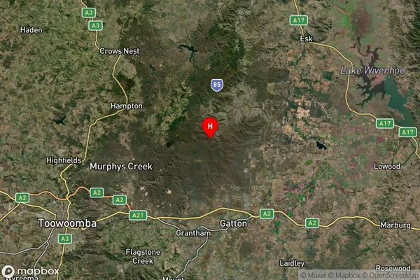
about 63.00 meters height above sea level (Altitude)Buaraba South Suburb Map (Satellite)
Distances
The distance from Buaraba South, Toowoomba, QLD to AU Greater Capital CitiesSA1 Code 2011
31701145122SA1 Code 2016
31701145122SA2 Code
317011451SA3 Code
31701SA4 Code
317RA 2011
2RA 2016
2MMM 2015
5MMM 2019
5Charge Zone
Q2LGA Region
Lockyer ValleyLGA Code
34580Electorate
Wright