Lottah Area, Lottah Postcode(7216) & Map in Lottah, Launceston and North East, TAS
Lottah Area, Lottah Postcode(7216) & Map in Lottah, Launceston and North East, TAS, AU, Postcode: 7216
Lottah, St Helens - Scamander, North East, Launceston and North East, Tasmania, Australia, 7216
Lottah Postcode
Area Name
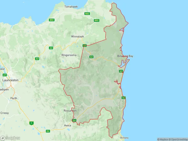
LottahLottah Suburb Area Map (Polygon)
Lottah Introduction
Lottah, Launceston, and North East, TAS, AU is a region in Tasmania, Australia, known for its natural beauty, including the Tamar River, Cataract Gorge, and the Bay of Fires. It is home to many tourist attractions, including the Tamar Valley Wine Route, the Tasmanian Devil Unzoo, and the Mount Wellington Summit.State Name
City or Big Region
District or Regional Area
Suburb Name
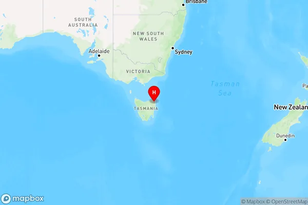
Lottah Region Map
Country
Main Region in AU
R3Coordinates
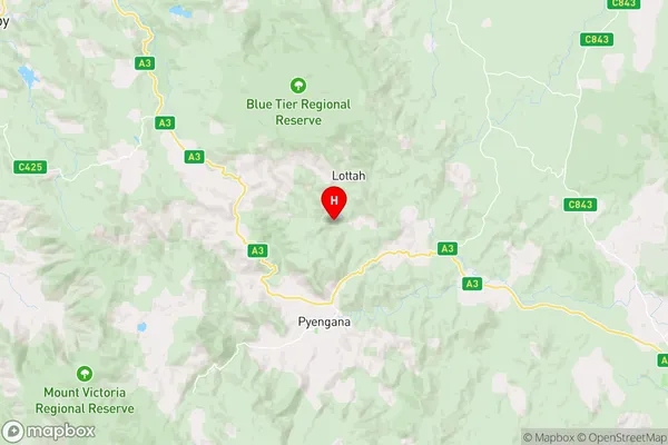
-41.2428376,148.0130836 (latitude/longitude)Lottah Area Map (Street)
Longitude
148.076401Latitude
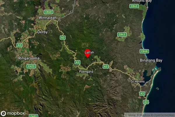
-41.284242Lottah Suburb Map (Satellite)
Distances
The distance from Lottah, Launceston and North East, TAS to AU Greater Capital CitiesSA1 Code 2011
60203106411SA1 Code 2016
60203106411SA2 Code
602031064SA3 Code
60203SA4 Code
602RA 2011
3RA 2016
3MMM 2015
5MMM 2019
5Charge Zone
T1LGA Region
Break O'DayLGA Code
60210Electorate
Lyons