Nile Area, Nile Postcode(7212) & Map in Nile, Launceston and North East, TAS
Nile Area, Nile Postcode(7212) & Map in Nile, Launceston and North East, TAS, AU, Postcode: 7212
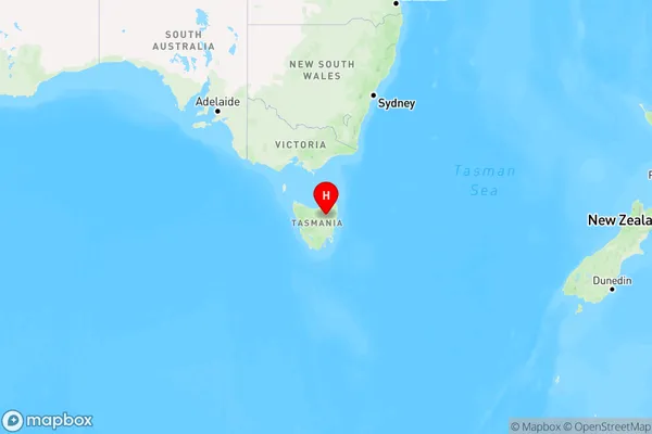
Nile, Northern Midlands, North East, Launceston and North East, Tasmania, Australia, 7212
Nile Postcode
Area Name
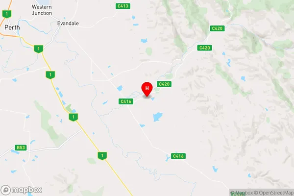
NileNile Suburb Area Map (Polygon)

Nile Introduction
Nile, Launceston, and North East, TAS, AU, are located in the northeastern part of Tasmania, Australia. It is a rural area with a population of approximately 10,000 people. The area is known for its agriculture, including dairy farming, and its natural beauty, including the Tamar River and the Cataract Gorge.State Name
City or Big Region
District or Regional Area
Suburb Name
Nile Region Map
Country
Main Region in AU
R3Coordinates
-41.6469557,147.3610493 (latitude/longitude)Nile Area Map (Street)
Longitude
147.488412Latitude
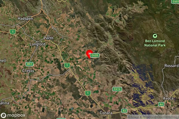
-41.567876Nile Suburb Map (Satellite)
Distances
The distance from Nile, Launceston and North East, TAS to AU Greater Capital CitiesSA1 Code 2011
60203106106SA1 Code 2016
60203106106SA2 Code
602031061SA3 Code
60203SA4 Code
602RA 2011
3RA 2016
3MMM 2015
5MMM 2019
5Charge Zone
T1LGA Region
LauncestonLGA Code
64010Electorate
Lyons