Underwood Area, Underwood Postcode(7268) & Map in Underwood, Launceston and North East, TAS
Underwood Area, Underwood Postcode(7268) & Map in Underwood, Launceston and North East, TAS, AU, Postcode: 7268
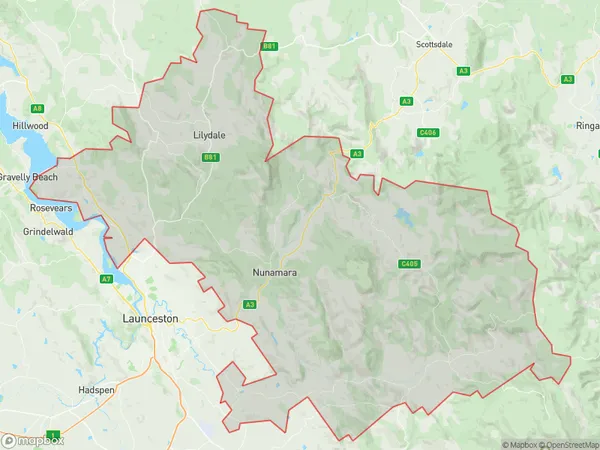
Underwood, Dilston - Lilydale, North East, Launceston and North East, Tasmania, Australia, 7268
Underwood Postcode
Area Name
UnderwoodUnderwood Suburb Area Map (Polygon)
Underwood Introduction
Underwood, Launceston, and North East, TAS, AU, is a region in Tasmania, Australia, with a rich history and diverse landscape. It includes the city of Launceston, the Tamar Valley, and the North East Coast. The region is known for its agriculture, tourism, and natural beauty, including the Cataract Gorge and the Bay of Fires.State Name
City or Big Region
District or Regional Area
Suburb Name
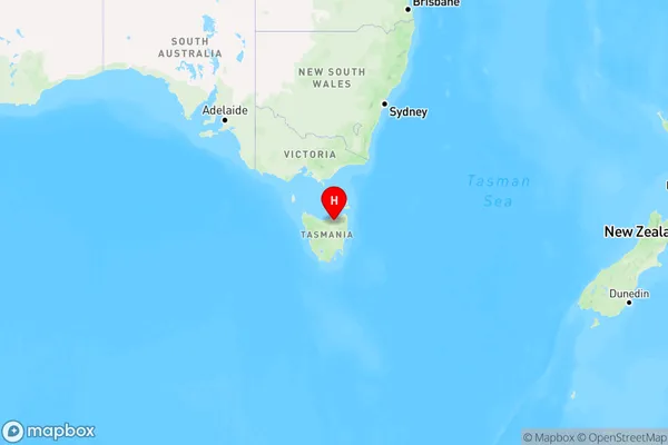
Underwood Region Map
Country
Main Region in AU
R3Coordinates
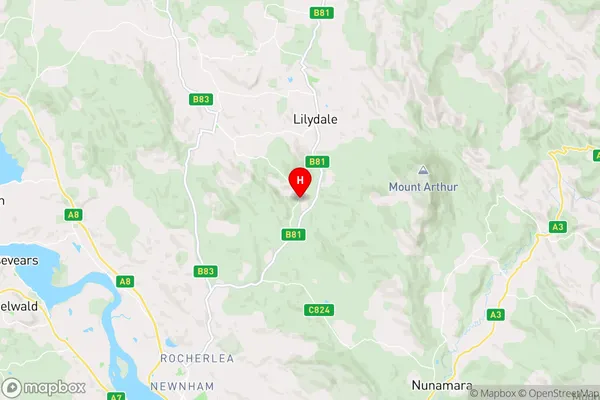
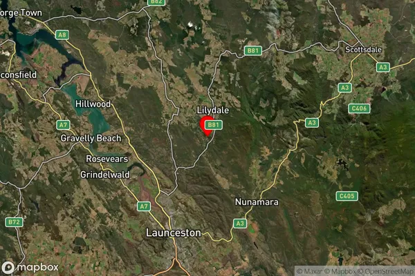
-41.2928171,147.2051338 (latitude/longitude)Underwood Area Map (Street)
Longitude
147.152757Latitude
-41.333887Underwood Suburb Map (Satellite)
Distances
The distance from Underwood, Launceston and North East, TAS to AU Greater Capital CitiesSA1 Code 2011
60203105805SA1 Code 2016
60203105805SA2 Code
602031058SA3 Code
60203SA4 Code
602RA 2011
2RA 2016
2MMM 2015
2MMM 2019
2Charge Zone
T1LGA Region
LauncestonLGA Code
64010Electorate
Bass