Gladstone Area, Gladstone Postcode(7264) & Map in Gladstone, Launceston and North East, TAS
Gladstone Area, Gladstone Postcode(7264) & Map in Gladstone, Launceston and North East, TAS, AU, Postcode: 7264
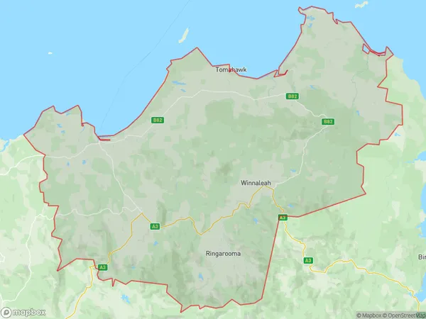
Gladstone, Scottsdale - Bridport, North East, Launceston and North East, Tasmania, Australia, 7264
Gladstone Postcode
Area Name
GladstoneGladstone Suburb Area Map (Polygon)
Gladstone Introduction
Gladstone, Launceston, and North East, TAS, AU, is a region in Tasmania, Australia, known for its natural beauty, including the Tamar River, Cataract Gorge, and the Bay of Fires. It is home to many tourist attractions, including the Cataract Gorge Reserve, the Tamar Valley Wine Region, and the East Coast Heritage Railway.State Name
City or Big Region
District or Regional Area
Suburb Name
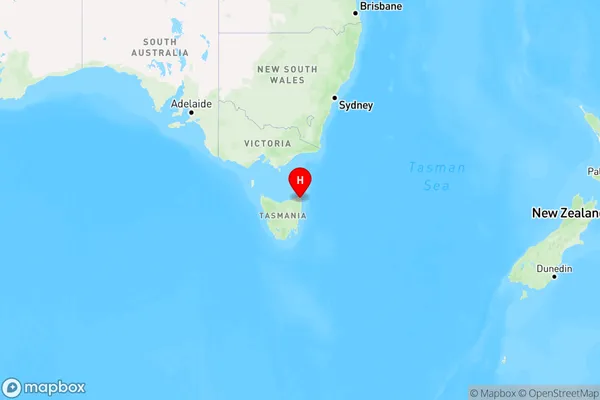
Gladstone Region Map
Country
Main Region in AU
R3Coordinates
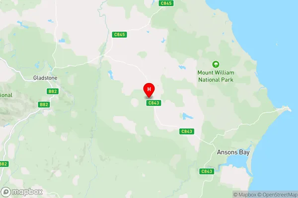
-40.9817009,148.1526806 (latitude/longitude)Gladstone Area Map (Street)
Longitude
148.026137Latitude
-41.015197Gladstone Elevation
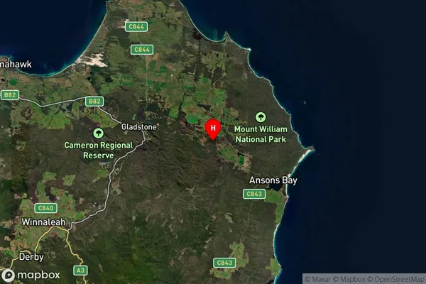
about 127.60 meters height above sea level (Altitude)Gladstone Suburb Map (Satellite)
Distances
The distance from Gladstone, Launceston and North East, TAS to AU Greater Capital CitiesSA1 Code 2011
60203106309SA1 Code 2016
60203110001SA2 Code
602031100SA3 Code
60203SA4 Code
602RA 2011
3RA 2016
3MMM 2015
5MMM 2019
5Charge Zone
T1LGA Region
DorsetLGA Code
61810Electorate
Lyons