Port Latta Area, Port Latta Postcode(7321) & Map in Port Latta, West and North West, TAS
Port Latta Area, Port Latta Postcode(7321) & Map in Port Latta, West and North West, TAS, AU, Postcode: 7321
Port Latta, North West, West Coast, West and North West, Tasmania, Australia, 7321
Port Latta Postcode
Area Name
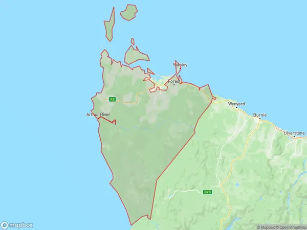
Port LattaPort Latta Suburb Area Map (Polygon)

Port Latta Introduction
Port Latta is a small township on the North West Coast of Tasmania, Australia. It is located approximately 45 kilometers north-west of the state capital, Hobart. The township is surrounded by the Port Latta Conservation Area and the Port Latta National Park. The population of Port Latta is approximately 300 people. The town was founded in the 1830s and was named after the port that was located there at the time. The port was used to export coal and timber from the surrounding area. Today, the town is a popular tourist destination, with many visitors coming to explore the nearby beaches and the conservation area.State Name
City or Big Region
District or Regional Area
Suburb Name
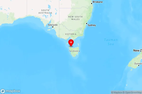
Port Latta Region Map

Country
Main Region in AU
R3Coordinates
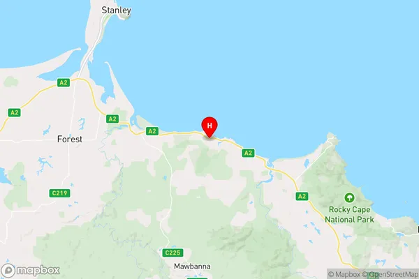
-40.8570127,145.3862603 (latitude/longitude)Port Latta Area Map (Street)

Longitude
145.503726Latitude
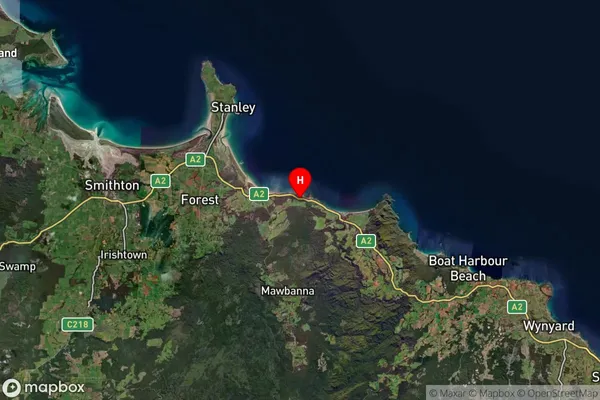
-41.456389Port Latta Suburb Map (Satellite)

Distances
The distance from Port Latta, West and North West, TAS to AU Greater Capital CitiesSA1 Code 2011
60403109403SA1 Code 2016
60403109403SA2 Code
604031094SA3 Code
60403SA4 Code
604RA 2011
3RA 2016
3MMM 2015
5MMM 2019
5Charge Zone
T1LGA Region
Waratah-WynyardLGA Code
65410Electorate
Braddon