Miandetta Area, Miandetta Postcode(7310) & Map in Miandetta, West and North West, TAS
Miandetta Area, Miandetta Postcode(7310) & Map in Miandetta, West and North West, TAS, AU, Postcode: 7310
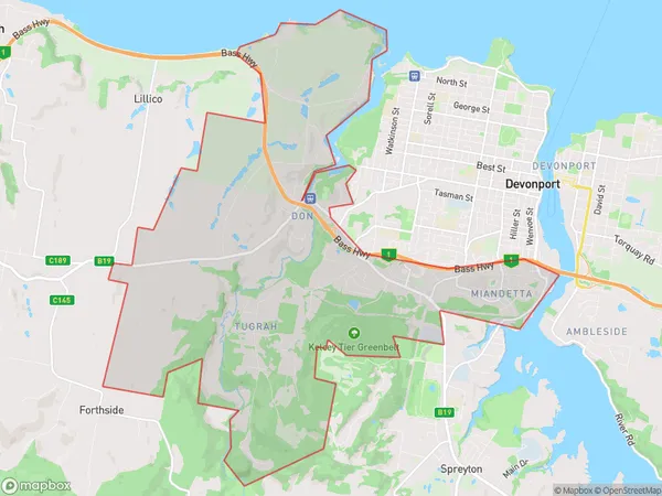
Miandetta, Miandetta - Don, Devonport, West and North West, Tasmania, Australia, 7310
Miandetta Postcode
Area Name
MiandettaMiandetta Suburb Area Map (Polygon)
Miandetta Introduction
Miandetta is a town in Tasmania, Australia, located in the West and North West regions. It is known for its natural beauty, including the Mount Arthur Reserve and the Arthur River. The town has a population of around 1,000 people and is a popular destination for tourists and outdoor enthusiasts.State Name
City or Big Region
District or Regional Area
Suburb Name
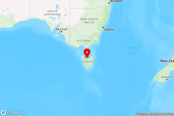
Miandetta Region Map
Country
Main Region in AU
R3Coordinates
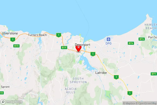
-41.1950916,146.350823 (latitude/longitude)Miandetta Area Map (Street)
Longitude
146.239406Latitude
-41.237355Miandetta Elevation
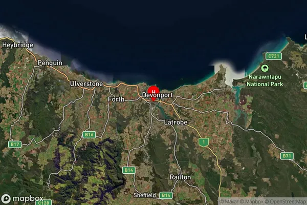
about 131.23 meters height above sea level (Altitude)Miandetta Suburb Map (Satellite)
Distances
The distance from Miandetta, West and North West, TAS to AU Greater Capital CitiesSA1 Code 2011
60402108805SA1 Code 2016
60402108805SA2 Code
604021088SA3 Code
60402SA4 Code
604RA 2011
2RA 2016
2MMM 2015
3MMM 2019
3Charge Zone
T1LGA Region
DevonportLGA Code
61610Electorate
Lyons