East Devonport Area, East Devonport Postcode(7310) & Map in East Devonport, West and North West, TAS
East Devonport Area, East Devonport Postcode(7310) & Map in East Devonport, West and North West, TAS, AU, Postcode: 7310
East Devonport, East Devonport, Devonport, West and North West, Tasmania, Australia, 7310
East Devonport Postcode
Area Name
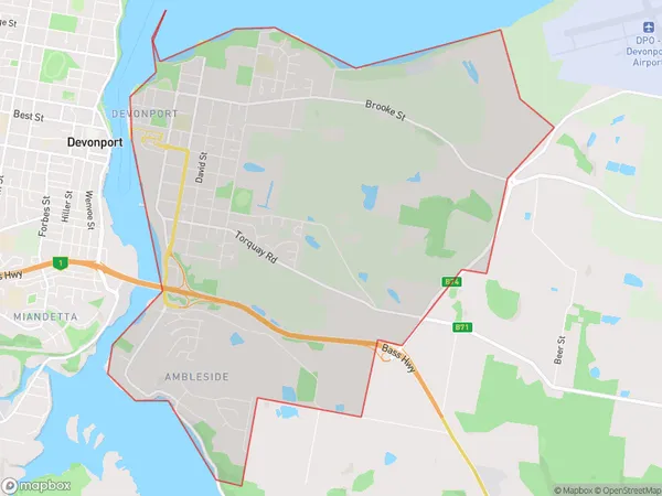
East DevonportEast Devonport Suburb Area Map (Polygon)
East Devonport Introduction
East Devonport, West and North West, TAS, AU is a suburb of Devonport, Tasmania, Australia. It is located on the Mersey River and has a population of approximately 10,000 people. The suburb is known for its scenic views, including the Mersey Bluff and the Tamar River. It is also home to several parks and reserves, including the East Devonport Botanic Gardens and the Devonport Regional Gallery.State Name
City or Big Region
District or Regional Area
Suburb Name
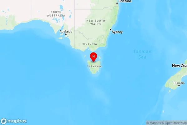
East Devonport Region Map
Country
Main Region in AU
R3Coordinates
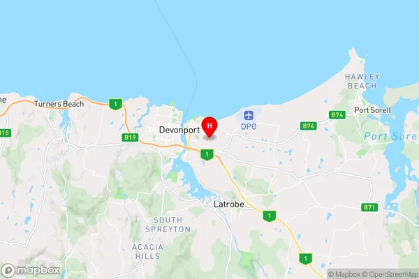
-41.1868892,146.391034 (latitude/longitude)East Devonport Area Map (Street)
Longitude
146.239406Latitude
-41.237355East Devonport Elevation
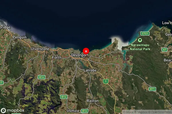
about 131.23 meters height above sea level (Altitude)East Devonport Suburb Map (Satellite)
Distances
The distance from East Devonport, West and North West, TAS to AU Greater Capital CitiesSA1 Code 2011
60402108609SA1 Code 2016
60402108609SA2 Code
604021086SA3 Code
60402SA4 Code
604RA 2011
3RA 2016
2MMM 2015
3MMM 2019
3Charge Zone
T1LGA Region
DevonportLGA Code
61610Electorate
Lyons