Mella Area, Mella Postcode(7330) & Map in Mella, West and North West, TAS
Mella Area, Mella Postcode(7330) & Map in Mella, West and North West, TAS, AU, Postcode: 7330
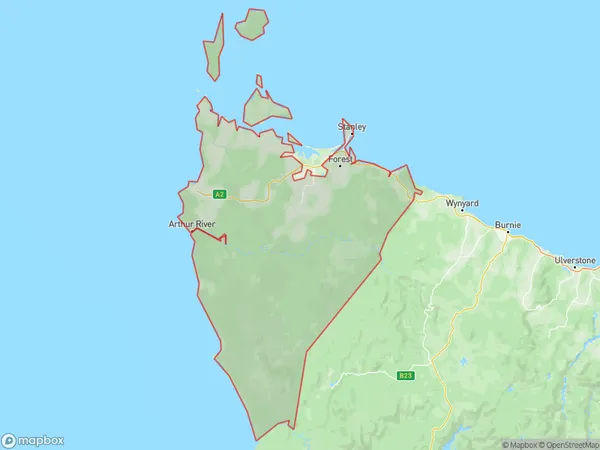
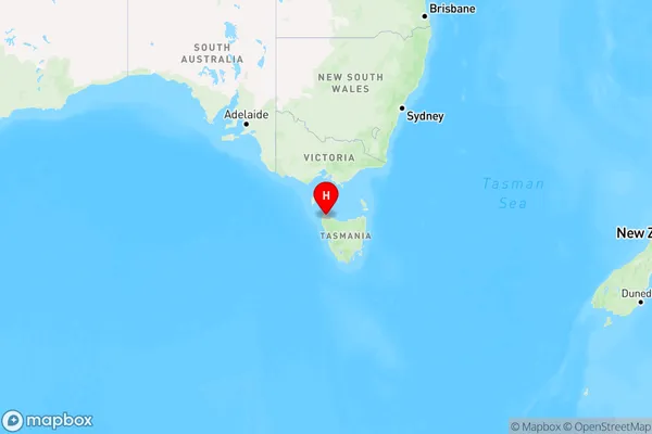
Mella, North West, West Coast, West and North West, Tasmania, Australia, 7330
Mella Postcode
Area Name
MellaMella Suburb Area Map (Polygon)
Mella Introduction
Mella, West and North West are towns in Tasmania, Australia. They are known for their natural beauty, including the Mersey River and the Tarkine Forest. The area is also home to a variety of wildlife, including kangaroos, wallabies, and emus.State Name
City or Big Region
District or Regional Area
Suburb Name
Mella Region Map
Country
Main Region in AU
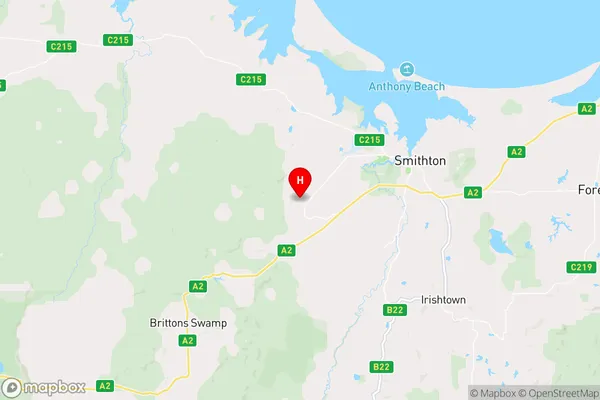
R3Coordinates
-40.8620294,145.0456683 (latitude/longitude)Mella Area Map (Street)
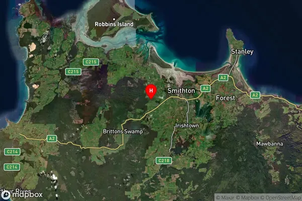
Longitude
145.057623Latitude
-40.782341Mella Suburb Map (Satellite)
Distances
The distance from Mella, West and North West, TAS to AU Greater Capital CitiesSA1 Code 2011
60403109409SA1 Code 2016
60403109409SA2 Code
604031094SA3 Code
60403SA4 Code
604RA 2011
3RA 2016
3MMM 2015
5MMM 2019
5Charge Zone
T1LGA Region
Circular HeadLGA Code
61210Electorate
Braddon