Weedallion Area, Weedallion Postcode(2594) & Map in Weedallion, Capital Region, NSW
Weedallion Area, Weedallion Postcode(2594) & Map in Weedallion, Capital Region, NSW, AU, Postcode: 2594
Weedallion, Young Region, Young - Yass, Capital Region, New South Wales, Australia, 2594
Weedallion Postcode
Area Name
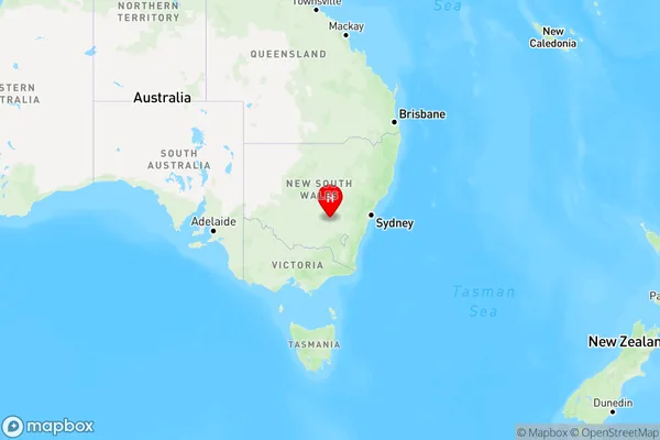
WeedallionWeedallion Suburb Area Map (Polygon)

Weedallion Introduction
Weedallion is a locality in the City of Lake Macquarie, New South Wales, Australia. It is part of the Newcastle metropolitan area. Weedallion is named after the Weedallion Creek, which flows through the area. The population of Weedallion was 2,485 at the 2016 census.State Name
City or Big Region
District or Regional Area
Suburb Name
Weedallion Region Map

Country
Main Region in AU
R3Coordinates
-34.1951207,147.9015386 (latitude/longitude)Weedallion Area Map (Street)

Longitude
148.10732Latitude
-34.231083Weedallion Suburb Map (Satellite)

Distances
The distance from Weedallion, Capital Region, NSW to AU Greater Capital CitiesSA1 Code 2011
10101100613SA1 Code 2016
10106154411SA2 Code
101061544SA3 Code
10106SA4 Code
101RA 2011
3RA 2016
3MMM 2015
5MMM 2019
5Charge Zone
N2LGA Region
HilltopsLGA Code
13910Electorate
Riverina