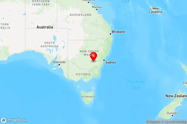
Burrangong Area, Burrangong Postcode(2594) & Map in Burrangong, Capital Region, NSW
Burrangong Area, Burrangong Postcode(2594) & Map in Burrangong, Capital Region, NSW, AU, Postcode: 2594
Burrangong, Young, Young - Yass, Capital Region, New South Wales, Australia, 2594
Burrangong Postcode
Area Name
BurrangongBurrangong Suburb Area Map (Polygon)

Burrangong Introduction
Burrangong is a town in the Southern Tablelands of New South Wales, Australia. It is located in the Macarthur region and is situated on the banks of the Murrumbidgee River. The town has a population of around 3,000 people and is known for its historic buildings, including the Burrangong Courthouse and the Old Government House. It is also a popular destination for outdoor activities, such as hiking, fishing, and camping.State Name
City or Big Region
District or Regional Area
Suburb Name
Burrangong Region Map

Country
Main Region in AU
R3Coordinates
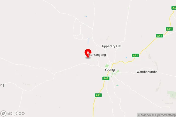
-34.2891089,148.2462596 (latitude/longitude)Burrangong Area Map (Street)

Longitude
148.10732Latitude
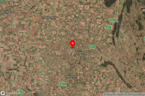
-34.231083Burrangong Suburb Map (Satellite)

Distances
The distance from Burrangong, Capital Region, NSW to AU Greater Capital CitiesSA1 Code 2011
10101100522SA1 Code 2016
10106154323SA2 Code
101061543SA3 Code
10106SA4 Code
101RA 2011
2RA 2016
2MMM 2015
4MMM 2019
4Charge Zone
N2LGA Region
HilltopsLGA Code
13910Electorate
Riverina