Ryansbrook Area, Ryansbrook Postcode(6395) & Map in Ryansbrook, Western Australia - Wheat Belt, WA
Ryansbrook Area, Ryansbrook Postcode(6395) & Map in Ryansbrook, Western Australia - Wheat Belt, WA, AU, Postcode: 6395
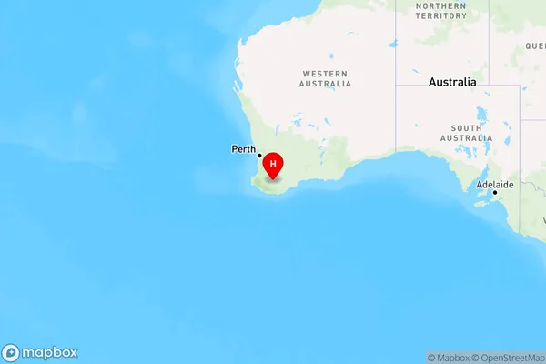
Ryansbrook, Kojonup, Albany, Western Australia - Wheat Belt, Western Australia, Australia, 6395
Ryansbrook Postcode
Area Name
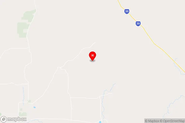
RyansbrookRyansbrook Suburb Area Map (Polygon)

Ryansbrook Introduction
Ryansbrook is a town in the Wheat Belt region of Western Australia, located 240 kilometers east of Perth. It is known for its wheat production and has a population of around 1,000 people. The town has a school, a post office, and a few shops.State Name
City or Big Region
District or Regional Area
Suburb Name
Ryansbrook Region Map
Country
Main Region in AU
R3Coordinates
-34.0897077,117.1585717 (latitude/longitude)Ryansbrook Area Map (Street)
Longitude
117.065276Latitude
-33.885153Ryansbrook Elevation
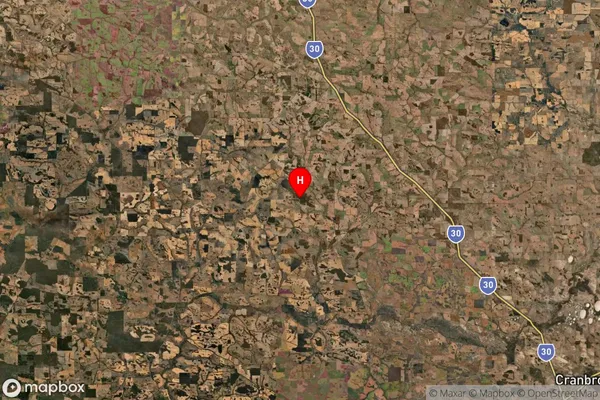
about 281.50 meters height above sea level (Altitude)Ryansbrook Suburb Map (Satellite)
Distances
The distance from Ryansbrook, Western Australia - Wheat Belt, WA to AU Greater Capital CitiesSA1 Code 2011
50901123111SA1 Code 2016
50901123111SA2 Code
509011231SA3 Code
50901SA4 Code
509RA 2011
3RA 2016
3MMM 2015
5MMM 2019
5Charge Zone
W2LGA Region
KojonupLGA Code
54550Electorate
Durack