Talgomine Area, Talgomine Postcode(6490) & Map in Talgomine, Western Australia - Wheat Belt, WA
Talgomine Area, Talgomine Postcode(6490) & Map in Talgomine, Western Australia - Wheat Belt, WA, AU, Postcode: 6490
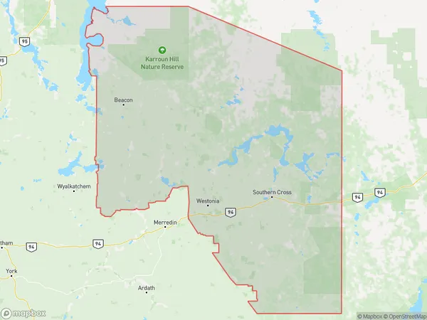
Talgomine, Mukinbudin, Wheat Belt - North, Western Australia - Wheat Belt, Western Australia, Australia, 6490
Talgomine Postcode
Area Name
TalgomineTalgomine Suburb Area Map (Polygon)
Talgomine Introduction
Talgomine is a town in the Wheat Belt region of Western Australia, located 220 km east of Perth. It is known for its wheat production and has a population of around 1,000 people. The town has a primary school, a hotel, and a general store.State Name
City or Big Region
District or Regional Area
Suburb Name
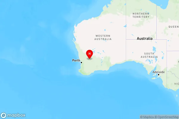
Talgomine Region Map
Country
Main Region in AU
R3Coordinates
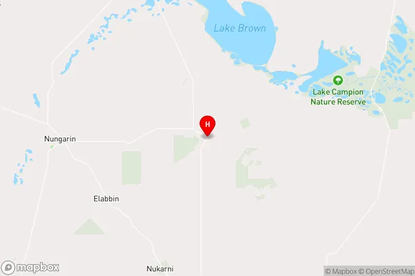
-31.184471,118.2467525 (latitude/longitude)Talgomine Area Map (Street)
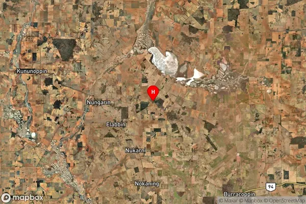
Longitude
118.107061Latitude
-31.161835Talgomine Suburb Map (Satellite)
Distances
The distance from Talgomine, Western Australia - Wheat Belt, WA to AU Greater Capital CitiesSA1 Code 2011
50902124208SA1 Code 2016
50902124208SA2 Code
509021242SA3 Code
50902SA4 Code
509RA 2011
4RA 2016
4MMM 2015
6MMM 2019
6Charge Zone
W2LGA Region
NungarinLGA Code
56860Electorate
Durack