Kununoppin Area, Kununoppin Postcode(6489) & Map in Kununoppin, Western Australia - Wheat Belt, WA
Kununoppin Area, Kununoppin Postcode(6489) & Map in Kununoppin, Western Australia - Wheat Belt, WA, AU, Postcode: 6489
Kununoppin, Mukinbudin, Wheat Belt - North, Western Australia - Wheat Belt, Western Australia, Australia, 6489
Kununoppin Postcode
Area Name
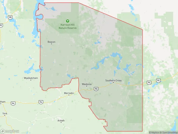
KununoppinKununoppin Suburb Area Map (Polygon)
Kununoppin Introduction
Kununoppin is a town in the Wheat Belt region of Western Australia, located 240 km east of Perth. It is known for its wheat production and is home to the Kununoppin Hotel, which is listed on the National Heritage List. The town has a population of around 300 people and is a popular destination for tourists who enjoy the rural lifestyle and the surrounding natural beauty.State Name
City or Big Region
District or Regional Area
Suburb Name
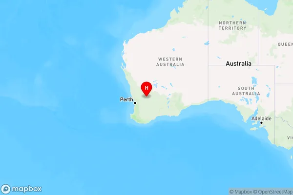
Kununoppin Region Map
Country
Main Region in AU
R3Coordinates
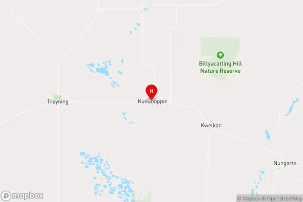
-31.1128745,117.9189612 (latitude/longitude)Kununoppin Area Map (Street)
Longitude
117.945624Latitude
-31.12327Kununoppin Elevation
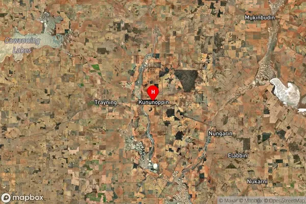
about 325.05 meters height above sea level (Altitude)Kununoppin Suburb Map (Satellite)
Distances
The distance from Kununoppin, Western Australia - Wheat Belt, WA to AU Greater Capital CitiesSA1 Code 2011
50902124209SA1 Code 2016
50902124209SA2 Code
509021242SA3 Code
50902SA4 Code
509RA 2011
4RA 2016
4MMM 2015
6MMM 2019
6Charge Zone
W2LGA Region
TrayningLGA Code
58400Electorate
Durack