Godfreys Creek Area, Godfreys Creek Postcode(2586) & Map in Godfreys Creek, Capital Region, NSW
Godfreys Creek Area, Godfreys Creek Postcode(2586) & Map in Godfreys Creek, Capital Region, NSW, AU, Postcode: 2586
Godfreys Creek, Young Region, Young - Yass, Capital Region, New South Wales, Australia, 2586
Godfreys Creek Postcode
Area Name
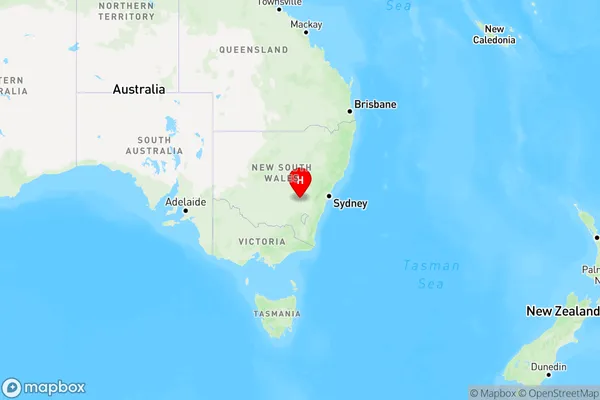
Godfreys CreekGodfreys Creek Suburb Area Map (Polygon)

Godfreys Creek Introduction
Godfreys Creek is a locality in the City of Hawkesbury, in the Central West region of New South Wales, Australia. It is located on the banks of the Macquarie River, approximately 60 km west of Sydney. The area was originally inhabited by the Gandangara people, and the name "Godfreys Creek" is derived from the name of a local settler, John Godfrey. The creek has a rich history of indigenous settlement and was the site of a major battle during the Hawkesbury River gold rush in the 1850s. Today, Godfreys Creek is a popular recreational area with a number of parks and walking trails. It is also home to a number of historic buildings, including the Godfrey's Creek Hotel, which was built in the 1880s.State Name
City or Big Region
District or Regional Area
Suburb Name
Godfreys Creek Region Map

Country
Main Region in AU
R3Coordinates
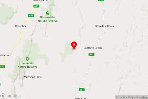
-34.1520905,148.6494108 (latitude/longitude)Godfreys Creek Area Map (Street)

Longitude
148.797264Latitude
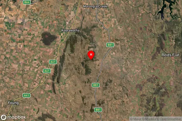
-34.378631Godfreys Creek Suburb Map (Satellite)

Distances
The distance from Godfreys Creek, Capital Region, NSW to AU Greater Capital CitiesSA1 Code 2011
10101100615SA1 Code 2016
10106154401SA2 Code
101061544SA3 Code
10106SA4 Code
101RA 2011
3RA 2016
3MMM 2015
5MMM 2019
5Charge Zone
N2LGA Region
HilltopsLGA Code
13910Electorate
Riverina