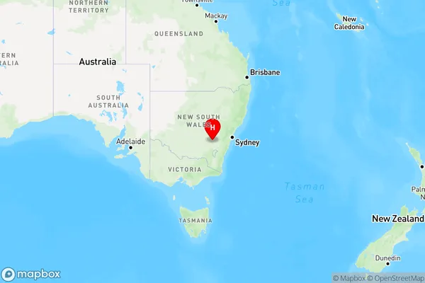
Goba Creek Area, Goba Creek Postcode(2586) & Map in Goba Creek, Capital Region, NSW
Goba Creek Area, Goba Creek Postcode(2586) & Map in Goba Creek, Capital Region, NSW, AU, Postcode: 2586
Goba Creek, Young Region, Young - Yass, Capital Region, New South Wales, Australia, 2586
Goba Creek Postcode
Area Name
Goba CreekGoba Creek Suburb Area Map (Polygon)

Goba Creek Introduction
Goba Creek is located in the Upper Hunter region of New South Wales, Australia. It is a tributary of the Hunter River and flows into the Pacific Ocean. The creek has a length of approximately 16 kilometers and a width of up to 10 meters. It is a popular spot for fishing, swimming, and camping and is surrounded by lush forests and farmland. The Goba Creek Conservation Area is located along the creek and is managed by the National Parks and Wildlife Service.State Name
City or Big Region
District or Regional Area
Suburb Name
Goba Creek Region Map

Country
Main Region in AU
R3Coordinates
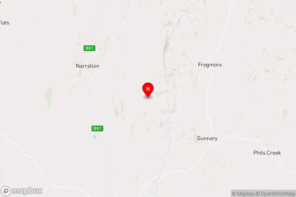
-34.3024999,148.7520691 (latitude/longitude)Goba Creek Area Map (Street)

Longitude
148.797264Latitude
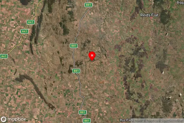
-34.378631Goba Creek Suburb Map (Satellite)

Distances
The distance from Goba Creek, Capital Region, NSW to AU Greater Capital CitiesSA1 Code 2011
10101100617SA1 Code 2016
10106154418SA2 Code
101061544SA3 Code
10106SA4 Code
101RA 2011
2RA 2016
2MMM 2015
5MMM 2019
5Charge Zone
N2LGA Region
HilltopsLGA Code
13910Electorate
Riverina