Raminea Area, Raminea Postcode(7109) & Map in Raminea, South East, TAS
Raminea Area, Raminea Postcode(7109) & Map in Raminea, South East, TAS, AU, Postcode: 7109
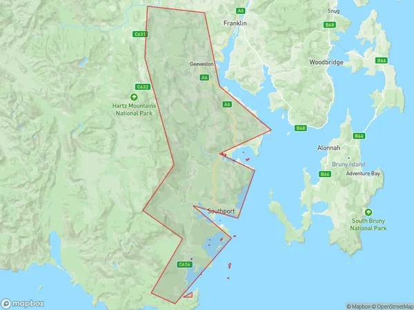
Raminea, Geeveston - Dover, Huon - Bruny Island, South East, Tasmania, Australia, 7109
Raminea Postcode
Area Name
RamineaRaminea Suburb Area Map (Polygon)
Raminea Introduction
Raminea is a small town in South East Tasmania, Australia, located on the banks of the Tamar River. It is known for its scenic beauty, including the Tamar Valley Wine Region and the Tamar River National Park. The town has a population of around 1,000 people and is a popular destination for tourists and locals alike.State Name
City or Big Region
District or Regional Area
Suburb Name
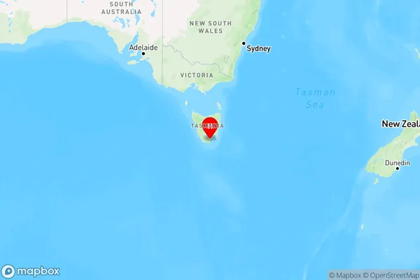
Raminea Region Map
Country
Main Region in AU
R2Coordinates
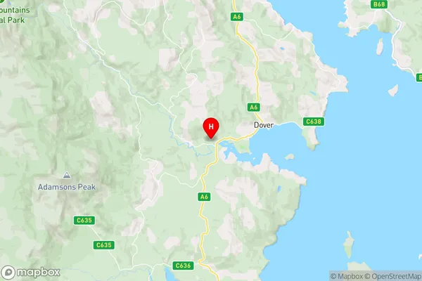
-43.3252653,146.9655907 (latitude/longitude)Raminea Area Map (Street)
Longitude
146.524064Latitude
-43.571087Raminea Elevation
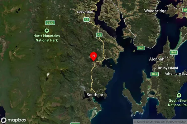
about 70.57 meters height above sea level (Altitude)Raminea Suburb Map (Satellite)
Distances
The distance from Raminea, South East, TAS to AU Greater Capital CitiesSA1 Code 2011
60302107102SA1 Code 2016
60302107102SA2 Code
603021071SA3 Code
60302SA4 Code
603RA 2011
3RA 2016
3MMM 2015
5MMM 2019
5Charge Zone
T1LGA Region
Huon ValleyLGA Code
63010Electorate
Franklin