Lower Longley Area, Lower Longley Postcode(7109) & Map in Lower Longley, South East, TAS
Lower Longley Area, Lower Longley Postcode(7109) & Map in Lower Longley, South East, TAS, AU, Postcode: 7109
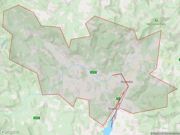
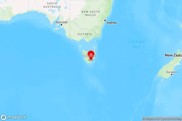
Lower Longley, Huonville - Franklin, Huon - Bruny Island, South East, Tasmania, Australia, 7109
Lower Longley Postcode
Area Name
Lower LongleyLower Longley Suburb Area Map (Polygon)
Lower Longley Introduction
Lower Longley is a suburb of Hobart, Tasmania, located in the south-east of the state. It is known for its scenic beauty, with many homes overlooking the Derwent River. The area is home to a variety of wildlife, including kangaroos, wallabies, and birds. There are also several parks and reserves in the area, including Mount Wellington and Mount Field National Park.State Name
City or Big Region
District or Regional Area
Suburb Name
Lower Longley Region Map
Country
Main Region in AU
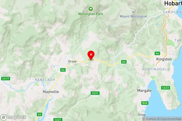
R2Coordinates
-42.9775,147.141389 (latitude/longitude)Lower Longley Area Map (Street)
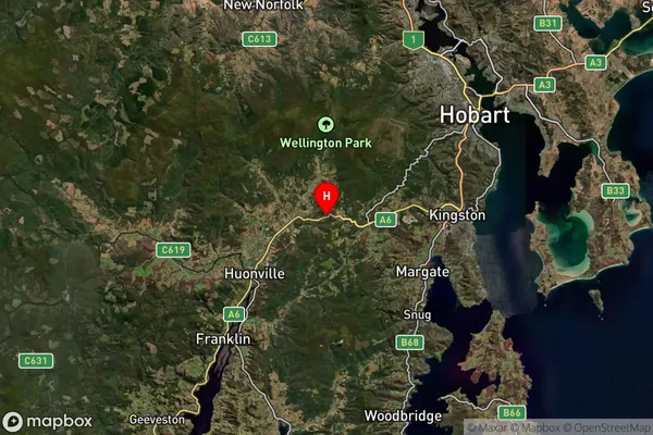
Longitude
146.524064Latitude
-43.571087Lower Longley Elevation
about 70.57 meters height above sea level (Altitude)Lower Longley Suburb Map (Satellite)
Distances
The distance from Lower Longley, South East, TAS to AU Greater Capital CitiesSA1 Code 2011
60302107206SA1 Code 2016
60302107206SA2 Code
603021072SA3 Code
60302SA4 Code
603RA 2011
3RA 2016
3MMM 2015
5MMM 2019
5Charge Zone
T1LGA Region
Huon ValleyLGA Code
63010Electorate
Franklin