Cleveland Area, Cleveland Postcode(7211) & Map in Cleveland, Launceston and North East, TAS
Cleveland Area, Cleveland Postcode(7211) & Map in Cleveland, Launceston and North East, TAS, AU, Postcode: 7211
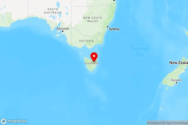
Cleveland, Northern Midlands, North East, Launceston and North East, Tasmania, Australia, 7211
Cleveland Postcode
Area Name
ClevelandCleveland Suburb Area Map (Polygon)

Cleveland Introduction
Cleveland, Launceston, and North East, TAS, AU, is a region in Tasmania, Australia, known for its natural beauty, including the Tamar River, Cataract Gorge, and the Bay of Fires. It is home to several wineries, restaurants, and attractions, and is a popular destination for tourists.State Name
City or Big Region
District or Regional Area
Suburb Name
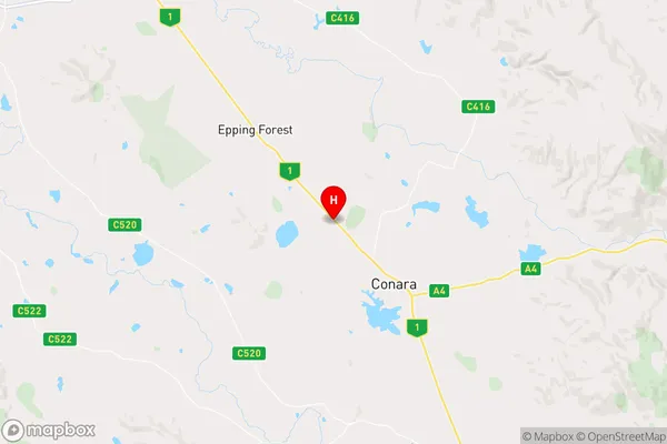
Cleveland Region Map
Country
Main Region in AU
R3Coordinates
-41.8019725,147.3993318 (latitude/longitude)Cleveland Area Map (Street)
Longitude
147.317089Latitude
-41.788619Cleveland Elevation
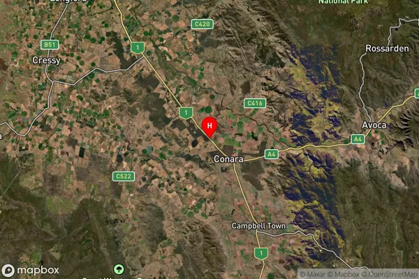
about 195.17 meters height above sea level (Altitude)Cleveland Suburb Map (Satellite)
Distances
The distance from Cleveland, Launceston and North East, TAS to AU Greater Capital CitiesSA1 Code 2011
60203106106SA1 Code 2016
60203106106SA2 Code
602031061SA3 Code
60203SA4 Code
602RA 2011
3RA 2016
3MMM 2015
5MMM 2019
5Charge Zone
T1LGA Region
Northern MidlandsLGA Code
64610Electorate
Lyons