Uxbridge Area, Uxbridge Postcode(7140) & Map in Uxbridge, South East, TAS
Uxbridge Area, Uxbridge Postcode(7140) & Map in Uxbridge, South East, TAS, AU, Postcode: 7140
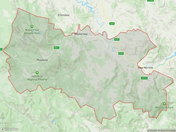
Uxbridge, Derwent Valley, Central Highlands (Tas.), South East, Tasmania, Australia, 7140
Uxbridge Postcode
Area Name
UxbridgeUxbridge Suburb Area Map (Polygon)
Uxbridge Introduction
Uxbridge is a small town in South East Tasmania, Australia, located on the banks of the Macquarie River. It is known for its scenic beauty, including the Uxbridge Lagoon and the Uxbridge Wetlands. The town has a population of around 1,000 people and is a popular destination for fishing, boating, and camping.State Name
City or Big Region
District or Regional Area
Suburb Name
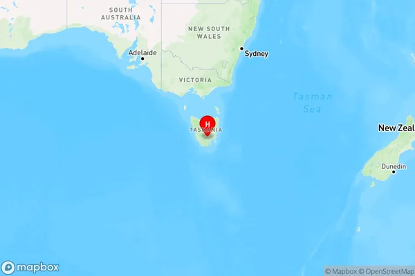
Uxbridge Region Map
Country
Main Region in AU
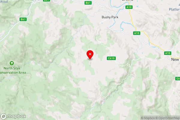
R2Coordinates
-42.7811455,146.8512997 (latitude/longitude)Uxbridge Area Map (Street)
Longitude
146.45502Latitude
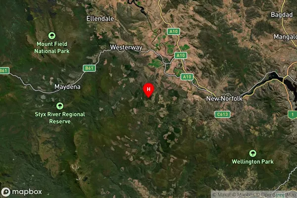
-42.544215Uxbridge Elevation
about 394.64 meters height above sea level (Altitude)Uxbridge Suburb Map (Satellite)
Distances
The distance from Uxbridge, South East, TAS to AU Greater Capital CitiesSA1 Code 2011
60301106608SA1 Code 2016
60301106608SA2 Code
603011066SA3 Code
60301SA4 Code
603RA 2011
3RA 2016
3MMM 2015
5MMM 2019
5Charge Zone
T1LGA Region
Derwent ValleyLGA Code
61510Electorate
Lyons