Rahotu Suburbs & Region, Rahotu Map & Postcodes in Rahotu, South Taranaki, Taranaki
Rahotu Postcodes, Rahotu ZipCodes, Rahotu , Rahotu Taranaki, Rahotu Suburbs, Rahotu Region, Rahotu Map, Rahotu Area
Rahotu Region (Upper Kahui Region)
Rahotu Suburbs
Rahotu is a suburb place type in South Taranaki, Taranaki, NZ. It contains 0 suburbs or localities.Rahotu district
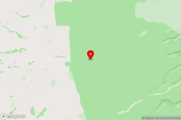
South TaranakiRahotu Region Map
Rahotu Introduction
Rahotu is a small coastal village located in Taranaki, New Zealand. It is known for its stunning natural beauty, including a long stretch of sandy beach, rugged cliffs, and lush green forests. The village has a population of around 500 people and is a popular destination for tourists and outdoor enthusiasts. Rahotu is also home to a small community of artists and craftspeople who work in a variety of mediums, including pottery, painting, and sculpture. The village is surrounded by a number of natural attractions, including the Rahotu Forest Park, which is a popular hiking and mountain biking destination.Rahotu Region
Rahotu City
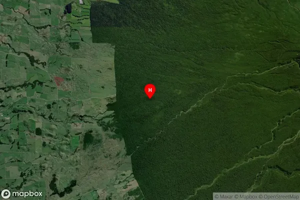
Rahotu Satellite Map
Full Address
Rahotu, South Taranaki, TaranakiRahotu Coordinates
-39.306403,173.963644 (Latitude / Longitude)Rahotu Map in NZ
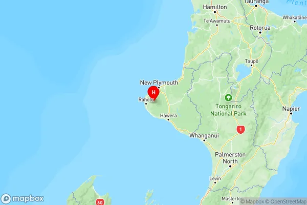
NZ Island
North IslandCountry
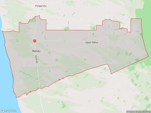
Rahotu Area Map (Polygon)
Name
RahotuAdditional Name
Upper KahuiLocal Authority
South Taranaki District
Rahotu Suburbs (Sort by Population)
Rahotu also known as Upper Kahui. Rahotu suburb has around
121.0 square
kilometers.There are more than 606 people (estimated)
live in Rahotu, Stratford, Taranaki, New Zealand.