Taradale Suburbs & Region, Taradale Map & Postcodes in Taradale, Napier City, Hawkes Bay

Taradale Postcodes, Taradale ZipCodes, Taradale , Taradale Hawke's Bay, Taradale Suburbs, Taradale Region, Taradale Map, Taradale Area

Taradale Region (Knightsbridge Region)

  • Taradale Suburbs

    Taradale is a suburb place type in Napier City, Hawkes Bay, NZ. It contains 0 suburbs or localities.
  • Taradale Postcodes

    411241414183
  • Taradale Region Map

    Taradale, Hawke's Bay Region Map
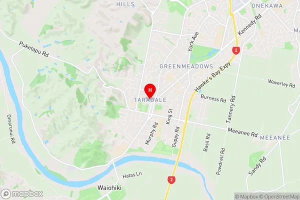
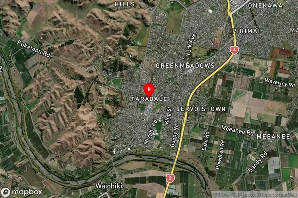
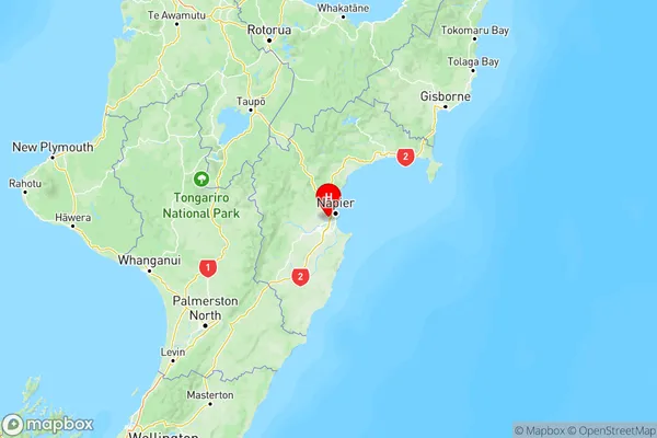
  • Taradale Introduction

    Taradale is a suburb of the city of Hawke's Bay in New Zealand. It is located on the eastern side of the city, approximately 10 kilometers from the central business district. The suburb is known for its rural atmosphere, with many farms and vineyards located in the surrounding area. Taradale has a population of around 10,000 people and is home to a number of popular attractions, including the Taradale Racecourse, the Taradale Aquatic Centre, and the Taradale Library. The suburb is also well-connected to the rest of Hawke's Bay, with easy access to State Highway 2 and the Hawke's Bay Airport.
  • Taradale Region

  • Taradale City

  • Taradale Satellite Map

    Taradale, Hawke's Bay Satellite Map
  • Full Address

    Taradale, Napier City, Hawkes Bay
  • Taradale Coordinates

    -39.533466,176.848433 (Latitude / Longitude)
  • Taradale Map in NZ

    Taradale, Hawke's Bay Region Map
  • NZ Island

    North Island
  • Taradale Area Map (Polygon)

    Taradale, Hawke's Bay Polygon Area Map
  • Name

    Taradale
  • Additional Name

    Knightsbridge
  • Local Authority

    Napier City

Taradale Suburbs (Sort by Population)

Taradale also known as Knightsbridge. Taradale suburb has around 13.7 square kilometers.There are more than 12852 people (estimated) live in Taradale, Napier, Hawke's Bay, New Zealand.

Taradale Suburbs (Sort in alphabetical)