Taradale Area, Taradale Postcode(4112) & Map in Taradale
Taradale Area, Taradale Postcode(4112) & Map in Taradale, Napier City, New Zealand
Taradale, Napier City, New Zealand
Taradale Area (estimated)
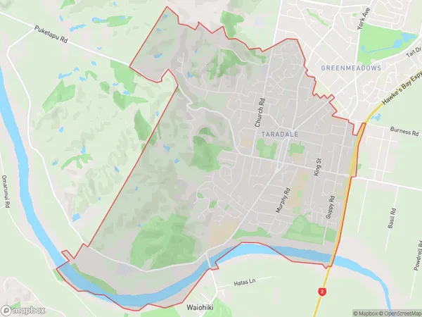
13.7 square kilometersTaradale Population (estimated)
12852 people live in Taradale, Napier, NZTaradale Suburb Area Map (Polygon)
Taradale Introduction
Taradale is a suburb of Napier, Hawke's Bay, New Zealand. It is located on the eastern side of the city, approximately 5 kilometers from the central business district. The suburb has a population of around 4,500 people and is known for its historic buildings, including the Taradale railway station and the Taradale Hall. It is also home to a variety of shops, restaurants, and recreational facilities, including the Taradale Sports Park and the Taradale Aquatic Centre.Region
Major City
Suburb Name
TaradaleOther Name(s)
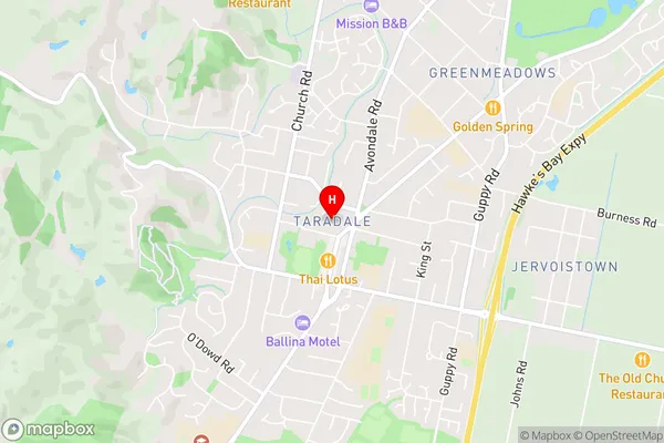
KnightsbridgeTaradale Area Map (Street)
Local Authority
Napier CityFull Address
Taradale, Napier City, New ZealandAddress Type
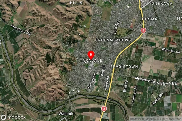
Suburb in City NapierTaradale Suburb Map (Satellite)
Country
Main Region in AU
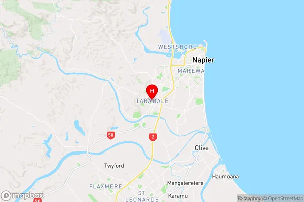
Hawke's BayTaradale Region Map
Coordinates
-39.5334658,176.8484327 (latitude/longitude)Distances
The distance from Taradale, Napier, Napier City to NZ Top 10 Cities