Poraiti Suburbs & Region, Poraiti Map & Postcodes in Poraiti, Napier City, Hawkes Bay
Poraiti Postcodes, Poraiti ZipCodes, Poraiti , Poraiti Hawke's Bay, Poraiti Suburbs, Poraiti Region, Poraiti Map, Poraiti Area
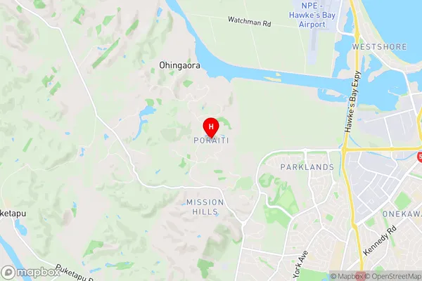
Poraiti Region (Ohingaora, Onekawa Industrial Region)
Poraiti Suburbs
Poraiti is a suburb place type in Napier City, Hawkes Bay, NZ. It contains 0 suburbs or localities.Poraiti Postcodes
Poraiti Region Map
Poraiti Introduction
Poraiti is a small coastal town in Hawke's Bay, New Zealand. It is known for its stunning beaches, rich history, and vibrant community. The town is located on the eastern coast of the North Island and is surrounded by picturesque farmland and the Pacific Ocean. Poraiti has a population of around 1,000 people and is home to a variety of businesses, including a hotel, a restaurant, and a convenience store. The town is also a popular destination for tourists, who come to enjoy the natural beauty and relaxed atmosphere of the area.Poraiti Region
Poraiti City
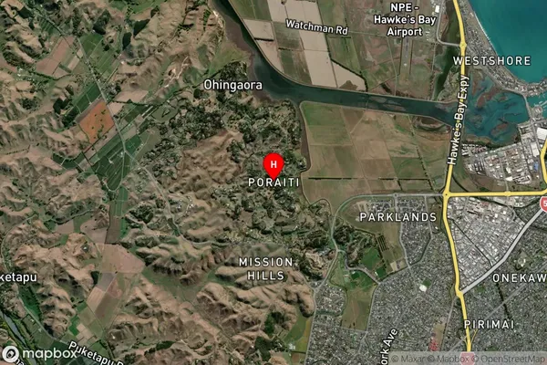
Poraiti Satellite Map
Full Address
Poraiti, Napier City, Hawkes BayPoraiti Coordinates
-39.494649,176.841451 (Latitude / Longitude)Poraiti Map in NZ
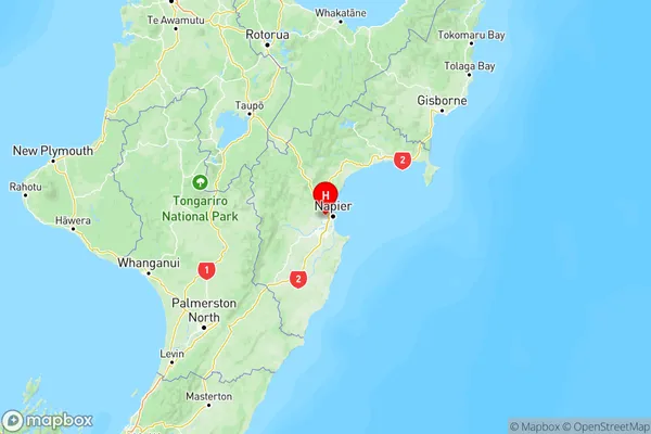
NZ Island
North IslandCountry
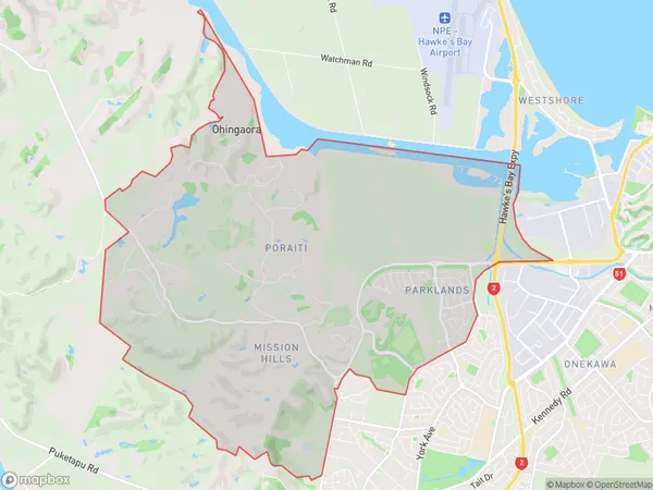
Poraiti Area Map (Polygon)
Name
PoraitiAdditional Name
Ohingaora, Onekawa IndustrialLocal Authority
Napier City
Poraiti Suburbs (Sort by Population)
Poraiti also known as Ohingaora, Onekawa Industrial. Poraiti suburb has around
21.3 square
kilometers.There are more than 2321 people (estimated)
live in Poraiti, Napier, Hawke's Bay, New Zealand.