Poraiti Area, Poraiti Postcode(4141) & Map in Poraiti
Poraiti Area, Poraiti Postcode(4141) & Map in Poraiti, Napier City, New Zealand
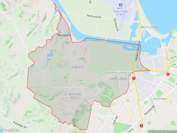
Poraiti, Napier City, New Zealand
Poraiti Area (estimated)
21.3 square kilometersPoraiti Population (estimated)
2321 people live in Poraiti, Napier, NZPoraiti Suburb Area Map (Polygon)
Poraiti Introduction
Poraiti is a small rural community in the Napier District of Hawke's Bay, New Zealand. It is located on State Highway 2, approximately 12 km south of Napier City and 55 km north of Hastings. The community has a population of around 100 people and is known for its scenic surroundings, including the Poraiti Beach and the Poraiti Hills.Region
Major City
Suburb Name
PoraitiOther Name(s)
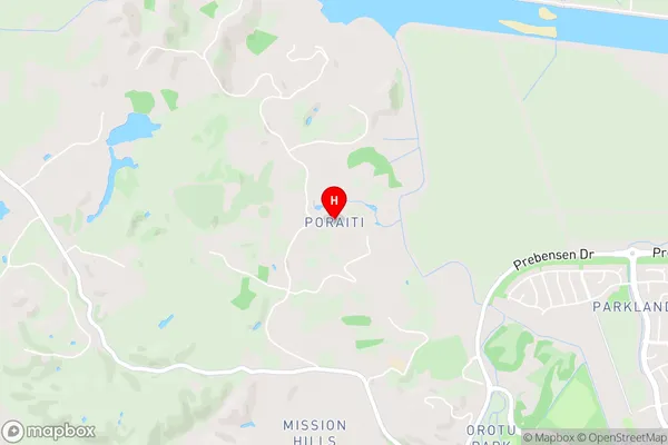
Ohingaora, Onekawa IndustrialPoraiti Area Map (Street)
Local Authority
Napier CityFull Address
Poraiti, Napier City, New ZealandAddress Type
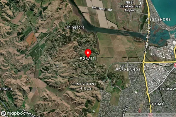
Suburb in City NapierPoraiti Suburb Map (Satellite)
Country
Main Region in AU
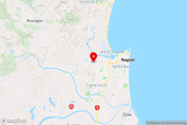
Hawke's BayPoraiti Region Map
Coordinates
-39.494649,176.8414508 (latitude/longitude)Distances
The distance from Poraiti, Napier, Napier City to NZ Top 10 Cities