Pandora Suburbs & Region, Pandora Map & Postcodes in Pandora, Napier City, Hawkes Bay
Pandora Postcodes, Pandora ZipCodes, Pandora , Pandora Hawke's Bay, Pandora Suburbs, Pandora Region, Pandora Map, Pandora Area
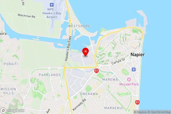
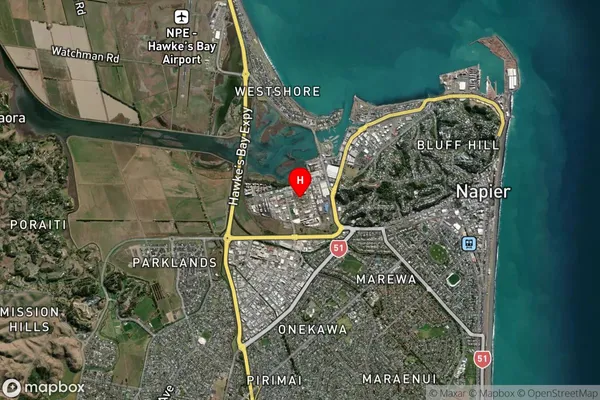
Pandora Region (Onekawa Industrial Region)
Pandora Suburbs
Pandora is a suburb place type in Napier City, Hawkes Bay, NZ. It contains 0 suburbs or localities.Pandora Postcodes
Pandora Region Map
Pandora Introduction
Pandora is a small rural community in Hawke's Bay, New Zealand, located on State Highway 2. It is known for its picturesque gardens and historic buildings, including the Pandora Hotel, which was built in 1878. The community has a population of around 500 people and is surrounded by farmland and native bush. Pandora is also home to a popular golf course, a bowling club, and a community hall. The area has a rich history, with early European settlers arriving in the 1840s. The community was named after the mythical Pandora, who opened a box that released all the evils of the world. Today, Pandora is a popular tourist destination and a peaceful and welcoming community.Pandora Region
Pandora City
Pandora Satellite Map
Full Address
Pandora, Napier City, Hawkes BayPandora Coordinates
-39.491361,176.886452 (Latitude / Longitude)Pandora Map in NZ

NZ Island
North IslandCountry
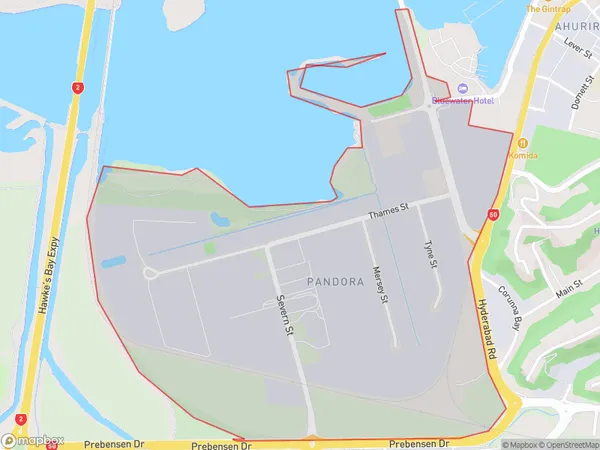
Pandora Area Map (Polygon)
Name
PandoraAdditional Name
Onekawa IndustrialLocal Authority
Napier City
Pandora Suburbs (Sort by Population)
Pandora also known as Onekawa Industrial. Pandora suburb has around
1.5 square
kilometers.There are more than 170 people (estimated)
live in Pandora, Napier, Hawke's Bay, New Zealand.