Pandora Area, Pandora Postcode(4110) & Map in Pandora
Pandora Area, Pandora Postcode(4110) & Map in Pandora, Napier City, New Zealand
Pandora, Napier City, New Zealand
Pandora Postcodes
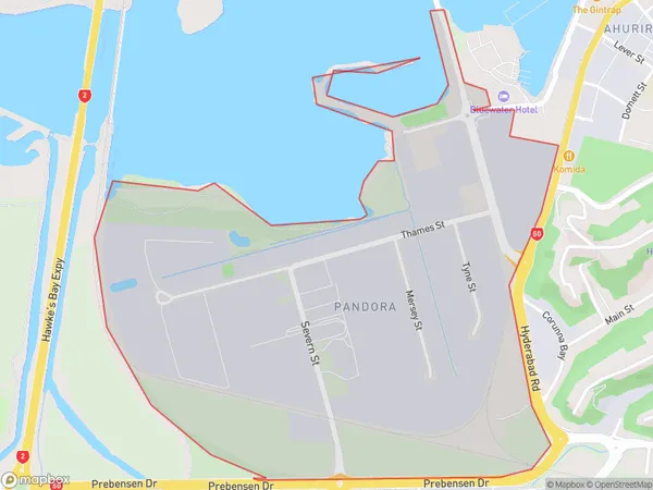
Pandora Area (estimated)
1.5 square kilometersPandora Population (estimated)
170 people live in Pandora, Napier, NZPandora Suburb Area Map (Polygon)
Pandora Introduction
Pandora is a small rural community in the Hawke's Bay region of New Zealand, known for its picturesque gardens and historic buildings. It is located on State Highway 2, approximately 20 minutes south of Napier. The area was first settled in the 1840s by German immigrants and has a rich history of farming and winemaking. Today, Pandora is a popular tourist destination and home to several wineries and restaurants.Region
Major City
Suburb Name
PandoraOther Name(s)
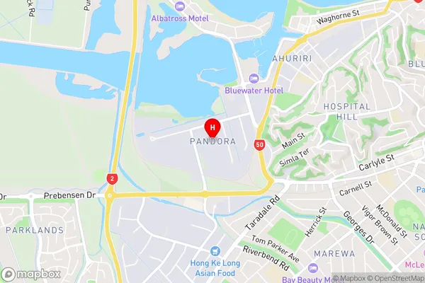
Onekawa IndustrialPandora Area Map (Street)
Local Authority
Napier CityFull Address
Pandora, Napier City, New ZealandAddress Type
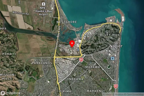
Suburb in City NapierPandora Suburb Map (Satellite)
Country
Main Region in AU
Hawke's BayPandora Region Map
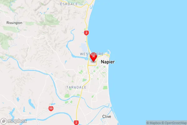
Coordinates
-39.4913611,176.886452 (latitude/longitude)Distances
The distance from Pandora, Napier, Napier City to NZ Top 10 Cities