Napier Hill Suburbs & Region, Napier Hill Map & Postcodes in Napier Hill, Napier City, Hawkes Bay
Napier Hill Postcodes, Napier Hill ZipCodes, Napier Hill , Napier Hill Hawke's Bay, Napier Hill Suburbs, Napier Hill Region, Napier Hill Map, Napier Hill Area
Napier Hill Region (Napier Hill, Onekawa Industrial Region)
Napier Hill Suburbs
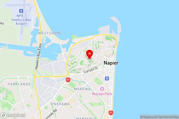
Napier Hill is a suburb place type in Napier City, Hawkes Bay, NZ. It contains 0 suburbs or localities.Napier Hill Region Map
Napier Hill Introduction
Napier Hill is a hill located in Hawke's Bay, New Zealand, with a height of 250 meters above sea level. It is known for its scenic views, including the city of Napier, the Bay of Plenty, and the surrounding countryside. The hill is a popular spot for hiking, cycling, and picnicking, and has several walking trails and lookout points. The area was also the site of a major battle during the New Zealand Wars in 1864.Napier Hill Region
Napier Hill City
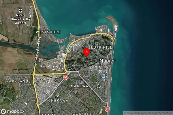
Napier Hill Satellite Map
Full Address
Napier Hill, Napier City, Hawkes BayNapier Hill Coordinates
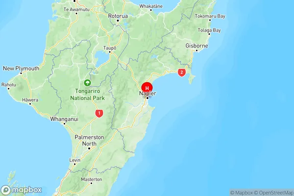
-39.4887032,176.9054293 (Latitude / Longitude)Napier Hill Map in NZ
NZ Island
North IslandCountry
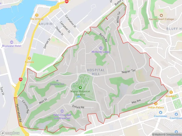
Napier Hill Area Map (Polygon)
Name
Hospital HillAdditional Name
Napier Hill, Onekawa IndustrialLocal Authority
Napier City
Napier Hill Suburbs (Sort by Population)
Hospital Hill also known as Napier Hill, Onekawa Industrial. Hospital Hill suburb has around
1.6 square
kilometers.There are more than 2654 people (estimated)
live in Hospital Hill, Napier, Hawke's Bay, New Zealand.