Hospital Hill Area, Hospital Hill Postcode(4110) & Map in Hospital Hill
Hospital Hill Area, Hospital Hill Postcode(4110) & Map in Hospital Hill, Napier City, New Zealand
Hospital Hill, Napier City, New Zealand
Hospital Hill Postcodes
Hospital Hill Area (estimated)
1.6 square kilometersHospital Hill Population (estimated)
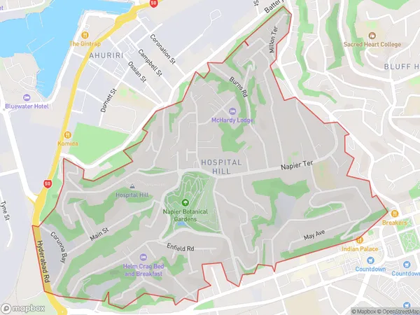
2654 people live in Hospital Hill, Napier, NZHospital Hill Suburb Area Map (Polygon)
Hospital Hill Introduction
Hospital Hill is a prominent hill overlooking Napier, New Zealand, known for its scenic views and historic significance as the location of Napier Hospital. It is a popular walking and hiking destination with several trails leading to the top. The hill also offers panoramic views of the city, the bay, and the surrounding countryside.Region
Major City
Suburb Name
Hospital HillOther Name(s)
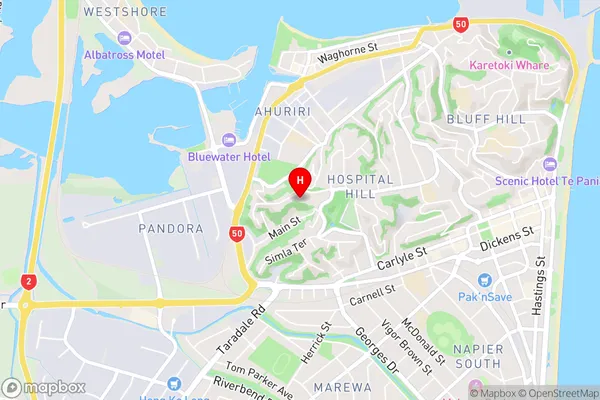
Napier Hill, Onekawa IndustrialHospital Hill Area Map (Street)
Local Authority
Napier CityFull Address
Hospital Hill, Napier City, New ZealandAddress Type
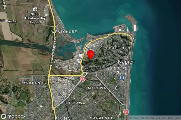
Suburb in City NapierHospital Hill Suburb Map (Satellite)
Country
Main Region in AU
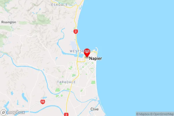
Hawke's BayHospital Hill Region Map
Coordinates
-39.4894477,176.8975706 (latitude/longitude)Distances
The distance from Hospital Hill, Napier, Napier City to NZ Top 10 Cities