Awatoto Suburbs & Region, Awatoto Map & Postcodes in Awatoto, Napier City, Hawkes Bay
Awatoto Postcodes, Awatoto ZipCodes, Awatoto , Awatoto Hawke's Bay, Awatoto Suburbs, Awatoto Region, Awatoto Map, Awatoto Area
Awatoto Region
Awatoto Suburbs
Awatoto is a suburb place type in Napier City, Hawkes Bay, NZ. It contains 0 suburbs or localities.Awatoto Postcodes
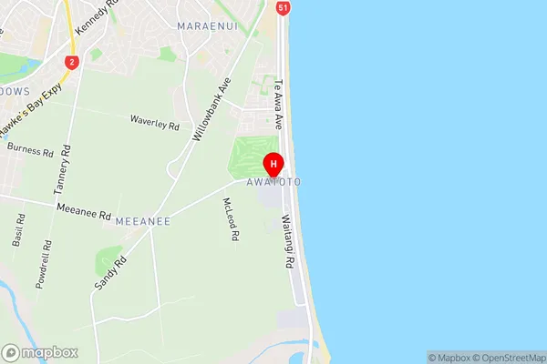
Awatoto Region Map
Awatoto Introduction
Awatoto is a small rural settlement in Hawke's Bay, New Zealand. It is located on State Highway 2, approximately 10 kilometers south of Hastings and 12 kilometers north of Wairoa. The settlement has a population of around 200 people and is known for its scenic surroundings, including the Awatoto River and the surrounding farmland. The area has a rich history, with early Māori settlements dating back to the 13th century. The village also has a historic church, a post office, and a small supermarket. Awatoto is a popular destination for tourists and outdoor enthusiasts, with many walking and cycling tracks in the area. The village is also home to a variety of wildlife, including native birds and animals.Awatoto Region
Awatoto City
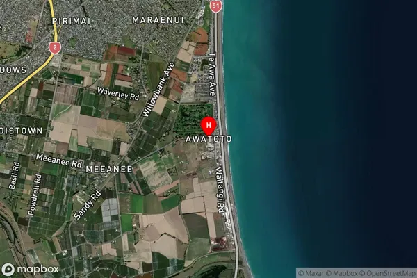
Awatoto Satellite Map
Full Address
Awatoto, Napier City, Hawkes BayAwatoto Coordinates
-39.537734,176.915952 (Latitude / Longitude)Awatoto Map in NZ
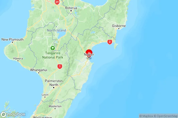
NZ Island
North IslandCountry
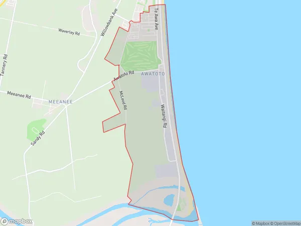
Awatoto Area Map (Polygon)
Name
AwatotoAdditional Name
Local Authority
Hastings District, Napier City
Awatoto Suburbs (Sort by Population)
Awatoto suburb has around
7.1 square
kilometers.There are more than 1351 people (estimated)
live in Awatoto, Napier, Hawke's Bay, New Zealand.