Awatoto Area, Awatoto Postcode(4102) & Map in Awatoto, Hastings District
Awatoto Area, Awatoto Postcode(4102) & Map in Awatoto, Hastings District, Napier City, New Zealand
Awatoto, Hastings District, Napier City, New Zealand
Awatoto Area (estimated)
7.1 square kilometersAwatoto Population (estimated)
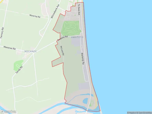
1351 people live in Awatoto, Napier, NZAwatoto Suburb Area Map (Polygon)
Awatoto Introduction
Awatoto is a small rural community in the Hawke's Bay region of New Zealand, located about 30 minutes south of Napier. It is known for its beautiful natural surroundings, including the Awatoto River and the surrounding hills. The community has a population of around 500 people and is home to a primary school, a church, and a few small businesses.Region
Major City
Suburb Name
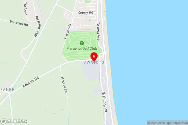
AwatotoAwatoto Area Map (Street)
Local Authority
Hastings District, Napier CityFull Address
Awatoto, Hastings District, Napier City, New ZealandAddress Type
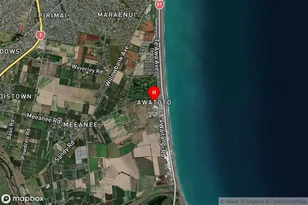
Suburb in City NapierAwatoto Suburb Map (Satellite)
Country
Main Region in AU
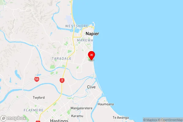
Hawke's BayAwatoto Region Map
Coordinates
-39.5377345,176.9159518 (latitude/longitude)Distances
The distance from Awatoto, Napier, Hastings District, Napier City to NZ Top 10 Cities