Waipatu Suburbs & Region, Waipatu Map & Postcodes in Waipatu, Hastings, Hawkes Bay
Waipatu Postcodes, Waipatu ZipCodes, Waipatu , Waipatu Hawke's Bay, Waipatu Suburbs, Waipatu Region, Waipatu Map, Waipatu Area
Waipatu Region
Waipatu Suburbs
Waipatu is a suburb place type in Hastings, Hawkes Bay, NZ. It contains 0 suburbs or localities.Waipatu Postcodes
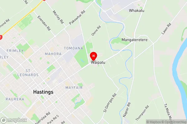
Waipatu Region Map
Waipatu Introduction
Waipatu is a small rural town in Hawke's Bay, New Zealand, located on the banks of the Waipatu River. It is known for its beautiful countryside, historic buildings, and friendly community. The town has a population of around 1,000 people and is home to a variety of businesses, including a supermarket, a pharmacy, a hotel, and several cafes and restaurants. Waipatu is also home to a number of cultural and recreational facilities, including a golf course, a swimming pool, and a sports complex. The town is located approximately 100 kilometers from Hastings, the regional capital, and 20 kilometers from Wairoa, the nearest large town.Waipatu Region
Waipatu City
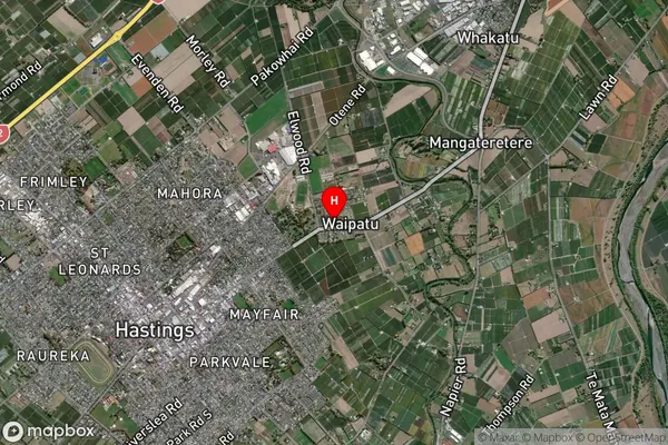
Waipatu Satellite Map
Full Address
Waipatu, Hastings, Hawkes BayWaipatu Coordinates
-39.62901,176.870801 (Latitude / Longitude)Waipatu Map in NZ
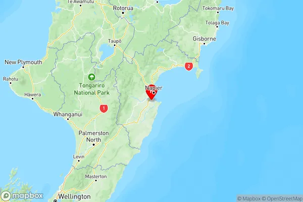
NZ Island
North IslandCountry
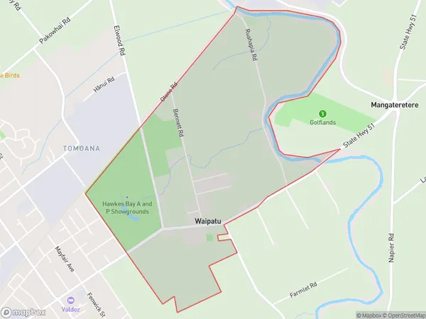
Waipatu Area Map (Polygon)
Name
WaipatuAdditional Name
Local Authority
Hastings District
Waipatu Suburbs (Sort by Population)
Waipatu suburb has around
3.9 square
kilometers.There are more than 413 people (estimated)
live in Waipatu, Hastings, Hawke's Bay, New Zealand.