Waipatu Area, Waipatu Postcode(4122) & Map in Waipatu
Waipatu Area, Waipatu Postcode(4122) & Map in Waipatu, Hastings District, New Zealand
Waipatu, Hastings District, New Zealand
Waipatu Postcodes
Waipatu Area (estimated)
3.9 square kilometersWaipatu Population (estimated)
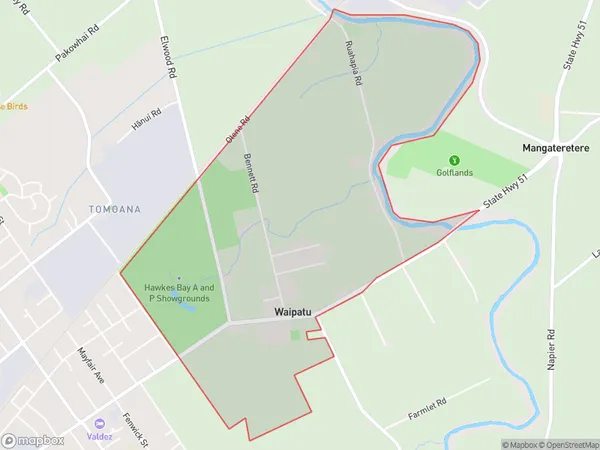
413 people live in Waipatu, Hastings, NZWaipatu Suburb Area Map (Polygon)
Waipatu Introduction
Waipatu is a small rural town in Hastings, Hawke's Bay, New Zealand. It is known for its beautiful countryside, historic buildings, and friendly community. The town has a population of around 1,000 people and is located on the banks of the Waipatu River, which provides a source of water for the region's agriculture. The town has a primary school, a post office, a supermarket, and a variety of small businesses and cafes. The surrounding area is popular for outdoor activities such as hiking, cycling, and fishing, and the town is also home to a number of wineries and olive groves.Region
Major City
Suburb Name
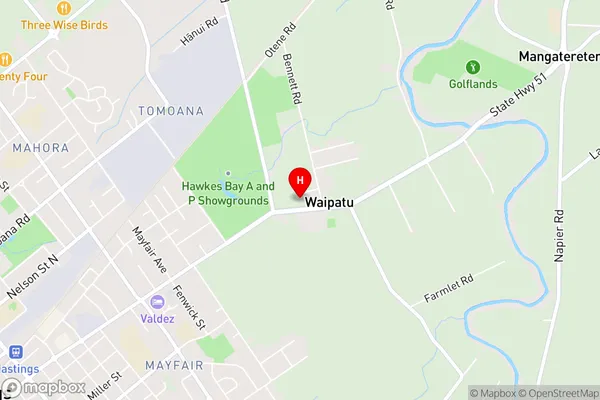
WaipatuWaipatu Area Map (Street)
Local Authority
Hastings DistrictFull Address
Waipatu, Hastings District, New ZealandAddress Type
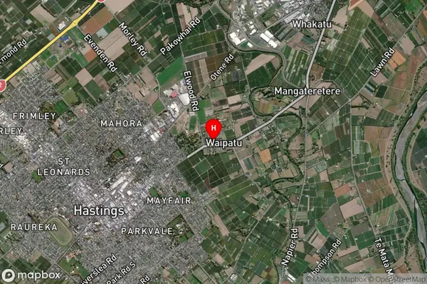
Locality in City HastingsWaipatu Suburb Map (Satellite)
Country
Main Region in AU
Hawke's BayWaipatu Region Map

Coordinates
-39.6290099,176.8708007 (latitude/longitude)Distances
The distance from Waipatu, Hastings, Hastings District to NZ Top 10 Cities