Waimarama Suburbs & Region, Waimarama Map & Postcodes in Waimarama, Hastings, Hawkes Bay
Waimarama Postcodes, Waimarama ZipCodes, Waimarama , Waimarama Hawke's Bay, Waimarama Suburbs, Waimarama Region, Waimarama Map, Waimarama Area
Waimarama Region
Waimarama Suburbs
Waimarama is a suburb place type in Hastings, Hawkes Bay, NZ. It contains 0 suburbs or localities.Waimarama Postcodes
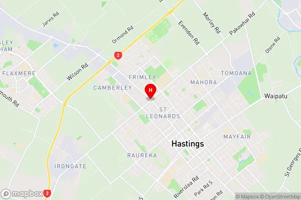
Waimarama Region Map
Waimarama Introduction
Waimarama is a small coastal town in Hawke's Bay, New Zealand, known for its beautiful beaches, native forests, and stunning coastal scenery. It is a popular holiday destination and a popular filming location, with several films and TV shows having been shot in the area. The town also has a rich cultural heritage, with several historic buildings and museums, including the Waimarama Museum, which showcases the area's history and culture. Waimarama is located on the eastern coast of the North Island, approximately 120 kilometers east of Hastings. It is surrounded by stunning natural scenery, including the Waimarama Forest Park, which is a popular hiking and mountain biking destination.Waimarama Region
Waimarama City
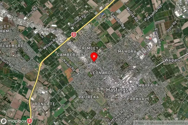
Waimarama Satellite Map
Full Address
Waimarama, Hastings, Hawkes BayWaimarama Coordinates
-39.6302214,176.8304088 (Latitude / Longitude)Waimarama Map in NZ
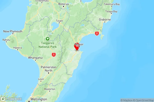
NZ Island
North IslandCountry
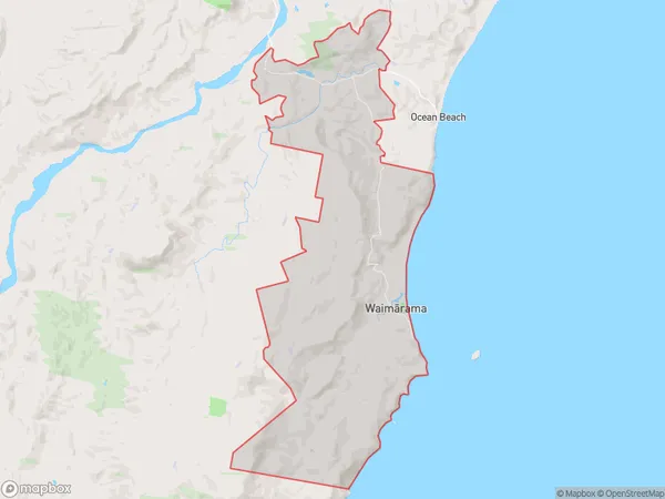
Waimarama Area Map (Polygon)
Name
WaimaramaAdditional Name
Local Authority
Hastings District
Waimarama Suburbs (Sort by Population)
Waimarama suburb has around
109.8 square
kilometers.There are more than 696 people (estimated)
live in Waimarama, Hastings, Hawke's Bay, New Zealand.