Maraetotara Area, Maraetotara Postcode(3120) & Map in Maraetotara
Maraetotara Area, Maraetotara Postcode(3120) & Map in Maraetotara, Hastings District,
Maraetotara, Hastings District,
Maraetotara Postcodes
Maraetotara Area (estimated)
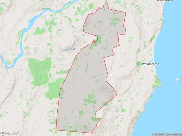
86.7 square kilometersMaraetotara Population (estimated)
214 people live in Maraetotara, Hastings, NZMaraetotara Suburb Area Map (Polygon)
Maraetotara Introduction
Maraetotara is a small rural community located in the Waimarama district of Hawke's Bay, New Zealand. It is known for its stunning coastal scenery, including beaches, cliffs, and native forests. The community has a population of around 100 people and is home to a primary school, a church, and a few small businesses. Maraetotara is a popular destination for outdoor enthusiasts, with many opportunities for hiking, cycling, and fishing. The area is also home to a number of historic sites, including the Maraetotara Pa, a former Maori settlement.Region
Major City
Suburb Name
MaraetotaraMaraetotara Area Map (Street)
Local Authority
Hastings DistrictFull Address
Maraetotara, Hastings District,Address Type
Locality in Major Locality WaimaramaMaraetotara Suburb Map (Satellite)
Country
Main Region in AU
Hawke's BayMaraetotara Region Map
Coordinates
0,0 (latitude/longitude)Distances
The distance from Maraetotara, Waimarama, Hastings District to NZ Top 10 Cities