Pakipaki Suburbs & Region, Pakipaki Map & Postcodes in Pakipaki, Hastings, Hawkes Bay
Pakipaki Postcodes, Pakipaki ZipCodes, Pakipaki , Pakipaki Hawke's Bay, Pakipaki Suburbs, Pakipaki Region, Pakipaki Map, Pakipaki Area
Pakipaki Region
Pakipaki Suburbs
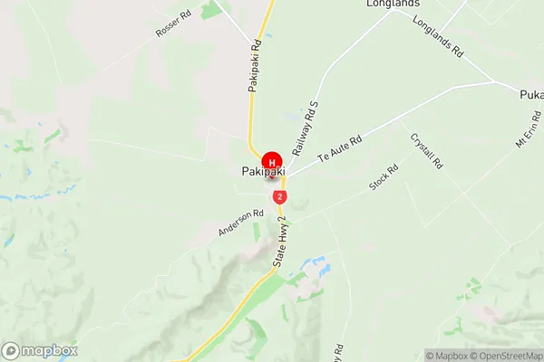
Pakipaki is a suburb place type in Hastings, Hawkes Bay, NZ. It contains 0 suburbs or localities.Pakipaki Region Map
Pakipaki Introduction
Pakipaki is a small rural community in the Hawke's Bay region of New Zealand. It is located on the banks of the Pakipaki River, approximately 30 kilometers southeast of Hastings. The area is known for its scenic countryside, fertile farmland, and historic buildings. The Pakipaki Post Office opened in 1878 and closed in 1987. The community has a primary school, a church, and a small supermarket. There are also several recreational facilities, including a golf course and a tennis court. The Pakipaki River is a popular spot for fishing and boating, and the nearby Pakipaki Forest Park is a popular destination for hiking and picnicking.Pakipaki Region
Pakipaki City
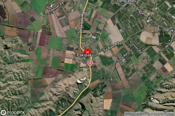
Pakipaki Satellite Map
Full Address
Pakipaki, Hastings, Hawkes BayPakipaki Coordinates
-39.692197,176.791438 (Latitude / Longitude)Pakipaki Map in NZ
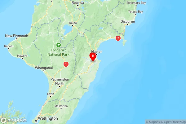
NZ Island
North IslandCountry
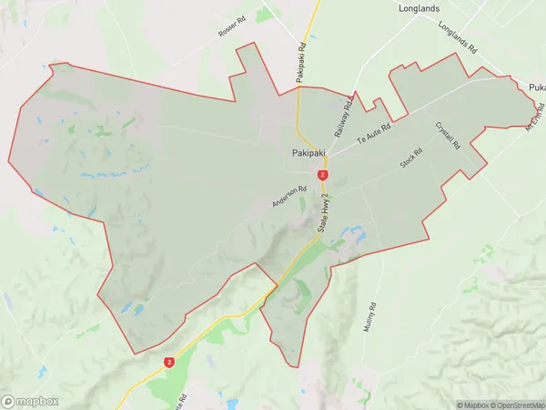
Pakipaki Area Map (Polygon)
Name
PakipakiAdditional Name
Local Authority
Hastings District
Pakipaki Suburbs (Sort by Population)
Pakipaki suburb has around
38.3 square
kilometers.There are more than 675 people (estimated)
live in Pakipaki, Hastings, Hawke's Bay, New Zealand.