Pakipaki Area, Pakipaki Postcode(4178) & Map in Pakipaki
Pakipaki Area, Pakipaki Postcode(4178) & Map in Pakipaki, Hastings District, New Zealand
Pakipaki, Hastings District, New Zealand
Pakipaki Postcodes
Pakipaki Area (estimated)
38.3 square kilometersPakipaki Population (estimated)
675 people live in Pakipaki, Hastings, NZPakipaki Suburb Area Map (Polygon)
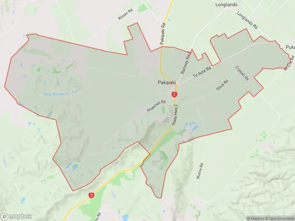
Pakipaki Introduction
Pakipaki is a small rural community in Hastings, Hawke's Bay, New Zealand. It is known for its beautiful beaches, lush green forests, and tranquil atmosphere. The area has a rich history and is home to several historic buildings, including the Pakipaki Hotel and the Pakipaki Post Office. The community is surrounded by farmland and has a strong agricultural presence. There are several walking and cycling trails in the area, and the nearby Pakipaki Beach is a popular spot for swimming, surfing, and fishing.Region
Major City
Suburb Name
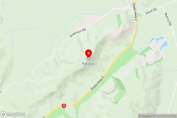
PakipakiPakipaki Area Map (Street)
Local Authority
Hastings DistrictFull Address
Pakipaki, Hastings District, New ZealandAddress Type
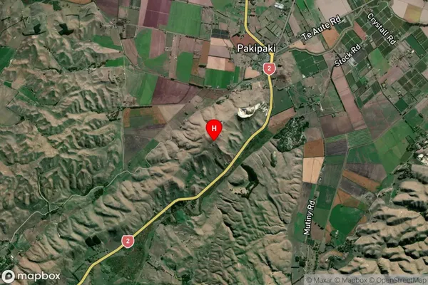
Locality in City HastingsPakipaki Suburb Map (Satellite)
Country
Main Region in AU
Hawke's BayPakipaki Region Map
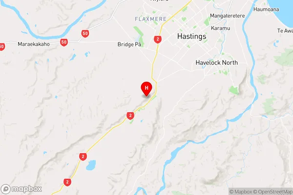
Coordinates
-39.7082424,176.7796347 (latitude/longitude)Distances
The distance from Pakipaki, Hastings, Hastings District to NZ Top 10 Cities