Mangateretere Suburbs & Region, Mangateretere Map & Postcodes in Mangateretere, Hastings, Hawkes Bay
Mangateretere Postcodes, Mangateretere ZipCodes, Mangateretere , Mangateretere Hawke's Bay, Mangateretere Suburbs, Mangateretere Region, Mangateretere Map, Mangateretere Area
Mangateretere Region
Mangateretere Suburbs
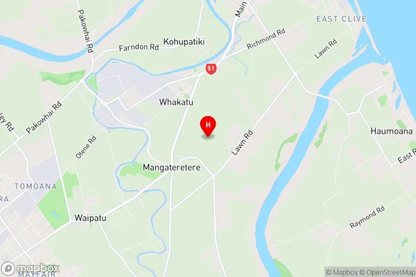
Mangateretere is a suburb place type in Hastings, Hawkes Bay, NZ. It contains 0 suburbs or localities.Mangateretere Region Map
Mangateretere Introduction
Mangateretere Island is located in the Hawke's Bay region of New Zealand. It is a small, uninhabited island that is part of the Mahia Peninsula. The island is known for its stunning natural beauty, including rugged cliffs, sandy beaches, and lush forests. It is a popular destination for hiking, camping, and birdwatching. The island has a rich history, with evidence of early Māori settlement dating back to around 1200 AD. The island was named by Captain James Cook in 1769, who named it after the Mangateretere River, which flows into the bay. The island is also home to a large colony of New Zealand fur seals, which can be seen basking on the rocks and swimming in the surrounding waters.Mangateretere Region
Mangateretere City
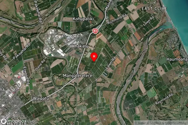
Mangateretere Satellite Map
Full Address
Mangateretere, Hastings, Hawkes BayMangateretere Coordinates
-39.614005,176.902419 (Latitude / Longitude)Mangateretere Map in NZ
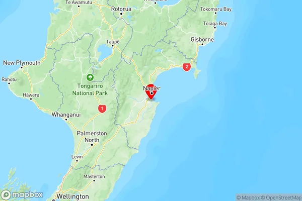
NZ Island
North IslandCountry
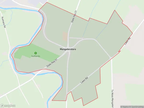
Mangateretere Area Map (Polygon)
Name
MangateretereAdditional Name
Local Authority
Hastings District
Mangateretere Suburbs (Sort by Population)
Mangateretere suburb has around
3.2 square
kilometers.There are more than 116 people (estimated)
live in Mangateretere, Hastings, Hawke's Bay, New Zealand.